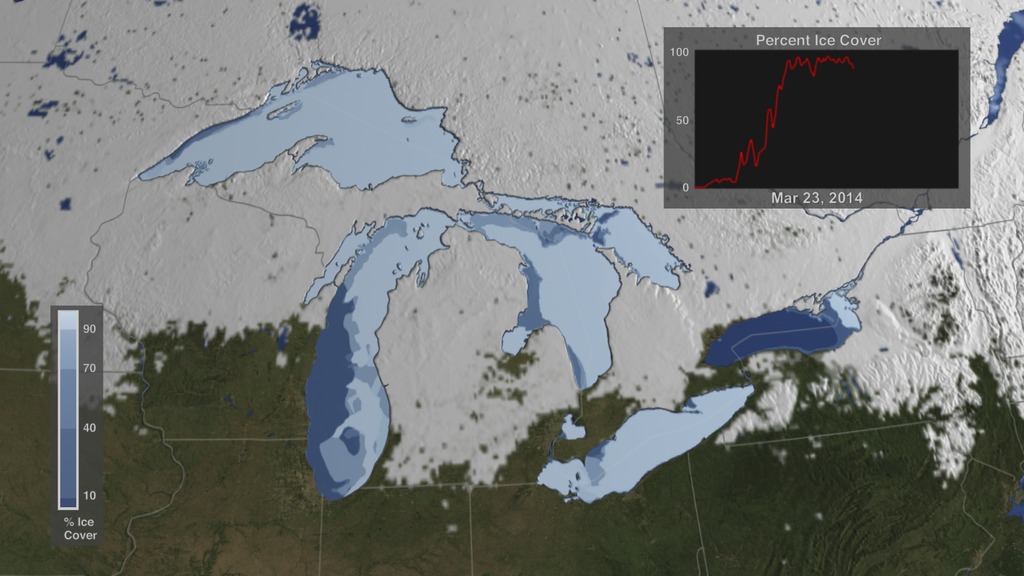
NASA On Air: U.S. Snow Cover Time Lapse - Winter 2013 to 2014 in 18 seconds (3/27/2015)
LEAD: Thanks to NASA satellites, water resource scientists are able to keep track of snowpack across the entire country day by day.
1. Here is the snow cover from November 2013 to April 2014, in about 18 seconds.
2. The winter season’s snow extent was 1.42 million square miles, about 12% above the 30-year average.
TAG: In California’s Sierra Nevada Mountains, however, snowpack totals were 25% less than the long-term average. These low levels have resulted in water shortages across the state of California.
For More Information
Credits
Please give credit for this item to:
NASA's Goddard Space Flight Center
-
Producer
- Howard Joe Witte (ADNET Systems, Inc.)
-
Scientists
- Dorothy Hall (NASA/GSFC)
- George Leshkevich (NOAA)
- Son Nghiem (NASA/JPL CalTech)
-
Data visualizer
- Cindy Starr (Global Science and Technology, Inc.)
-
Technical support
- Laurence Schuler (ADNET Systems, Inc.)
- Ian Jones (ADNET Systems, Inc.)
-
Video editor
- Joy Ng (USRA)
Release date
This page was originally published on Friday, March 27, 2015.
This page was last updated on Wednesday, May 3, 2023 at 1:49 PM EDT.
