Landsat Bolivian Deforestation: 1984 to 1998
Zooming down to Bolivia, showing a time-lapse sequence of Landsat images from 1984 to 1998

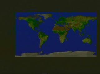
Video slate image reads "SeaWiFS True Color Phytoplankton Concentration Global Biosphere".
Credits
Please give credit for this item to:
NASA/Goddard Space Flight Center
Scientific Visualization Studio
-
Animator
- Jesse Allen (Raytheon)
-
Scientist
- Darrel Williams (NASA/GSFC)
Release date
This page was originally published on Thursday, January 1, 1998.
This page was last updated on Wednesday, May 3, 2023 at 2:00 PM EDT.
Missions
This page is related to the following missions:Series
This page can be found in the following series:Datasets used
-
[Landsat-5: TM]
ID: 53
Note: While we identify the data sets used on this page, we do not store any further details, nor the data sets themselves on our site.
Alternate Versions
- ID: 944
 Visualization