TROPICS Monitors Milton
Hurricane Milton transversing through the Gulf of Mexico, starting October 5, 2024 through October 9, 2024 when it made landfall along the western Florida coast.
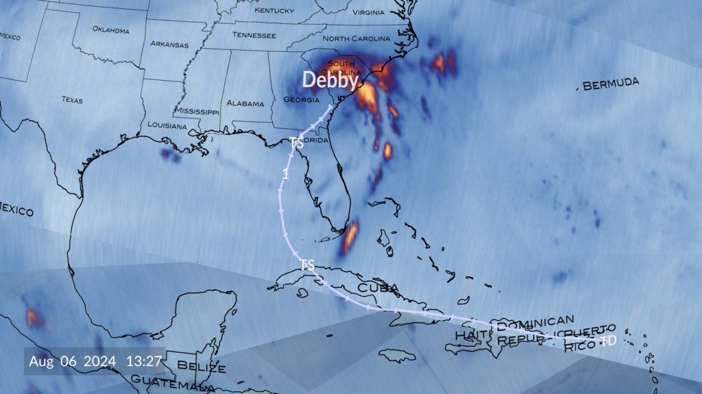
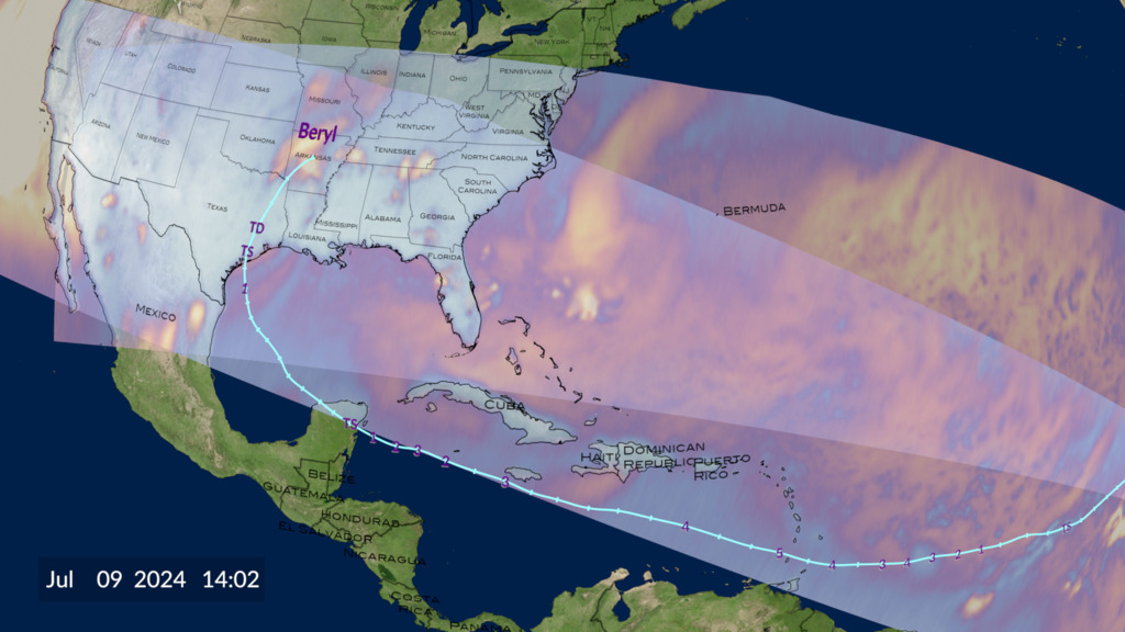
The Time-Resolved Observations of Precipitation structure and storm Intensity with a Constellation of Smallsats (TROPICS) mission is a constellation of small satellites designed to monitor global precipitation events on a much more frequent basis than what large single satellites can do. It is a short term demonstration mission supporting the concept of high cadence small CubeSat weather observations. These small satellites can be much more cost effective than their much larger counterparts, and launching many of them can provide more frequent coverage.
TROPICS monitored Hurricane Milton throughout its lifecycle. This data visualization shows Milton rapidly intensify into a Category 5 hurricane, slightly weaken, and then regain its strength. And although it weakened before hitting the western Florida coast, it still made landfall as a Category 3 hurricane.
Credits
Please give credit for this item to:
NASA's Scientific Visualization Studio
-
Data visualizers
- Alex Kekesi (Global Science and Technology, Inc.)
- Greg Shirah (NASA/GSFC)
-
Scientists
- Scott Braun (NASA/GSFC)
- William J. Blackwell (MIT Lincoln Laboratory)
-
Data provider
- Kevin Hrpcek (University of Wisconsin)
-
Technical support
- Laurence Schuler (ADNET Systems, Inc.)
- Ian Jones (ADNET Systems, Inc.)
Release date
This page was originally published on Friday, October 11, 2024.
This page was last updated on Monday, January 6, 2025 at 1:14 AM EST.
Datasets used
-
Brightness Temp (Brightness Temperature) [TROPICS: Passive Microwave Radiometer]
ID: 1219This dataset can be found at: https://weather.ndc.nasa.gov/tropics/
See all pages that use this dataset
Note: While we identify the data sets used on this page, we do not store any further details, nor the data sets themselves on our site.

