Operation IceBridge Arctic Campaigns: Produced Videos
2010
Behind the Scenes with Operation IceBridge
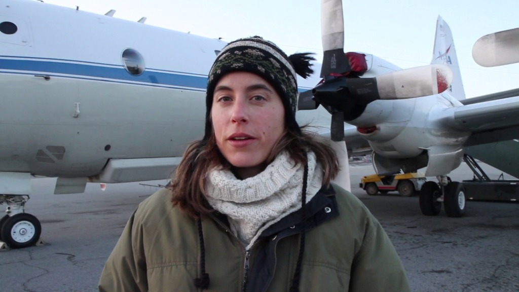
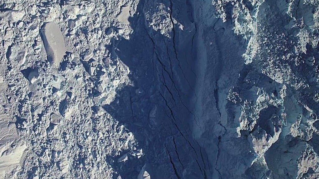
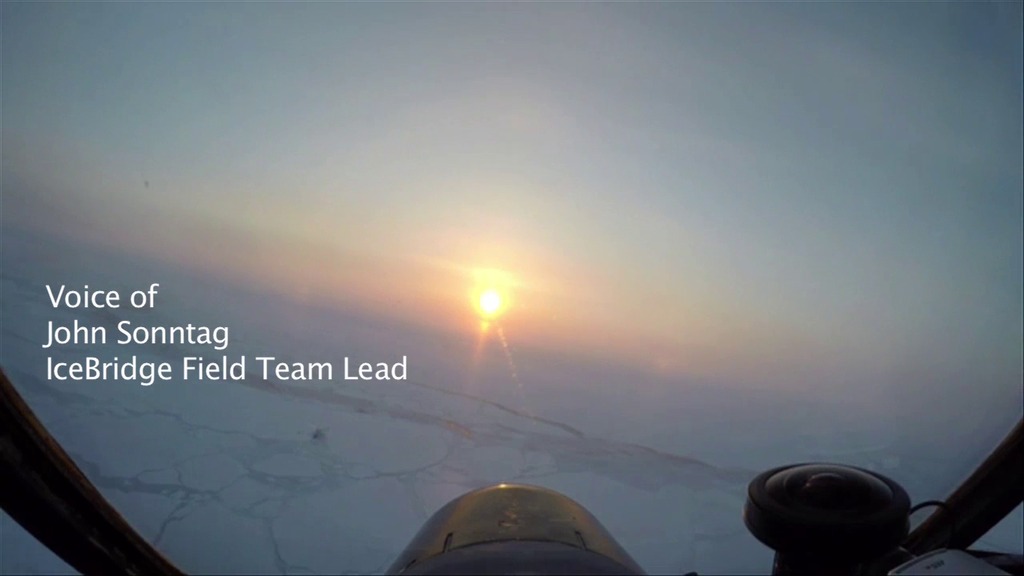
Go to this pageLearn what a typical day is like with Operation IceBridge scientists, pilots and crew as they explore the polar ice sheets. This video includes exclusive footage of Arctic sea ice and Greenland glaciers. ||
Operation IceBridge's 2010 Arctic Campaign Takes Off: Reporters Package
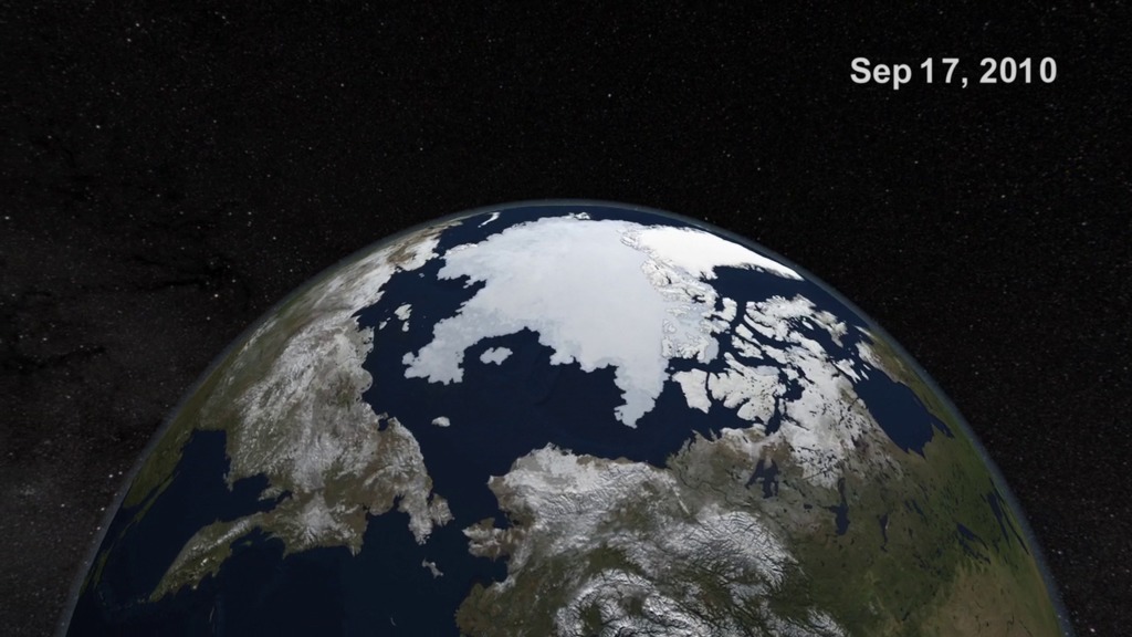
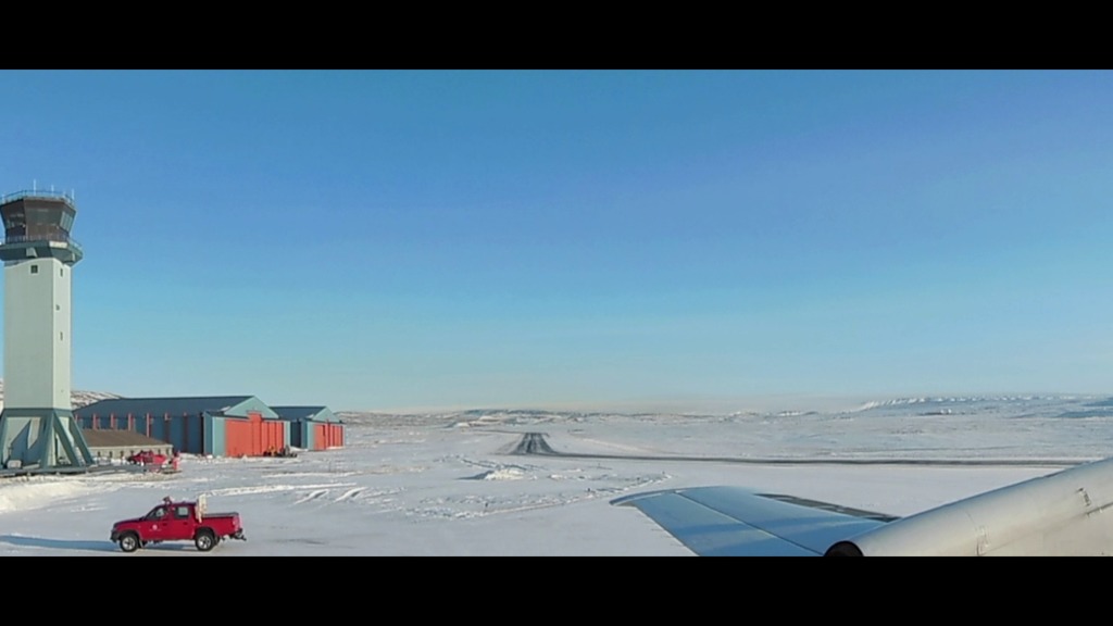
Go to this pageNASA's Operation IceBridge mission, the largest airborne survey ever flown of Earth's polar ice, kicked off its second year of study in late March 2010. The IceBridge mission allows scientists to track changes in the extent and thickness of polar ice, which is important to understanding ice dynamics. IceBridge began in March 2009 as a means to fill the gap in polar observations between the loss of NASA's ICESat satellite and the launch of ICESat-2, planned for 1015. Annual missions fly over the Arctic in March and April and over the Antarctic in October and November. This video gives a brief overview of the start of the Arctic 2010 IceBridge campaign.For complete transcript, click here. || G2010-028_OIB_Pkg2_appletv.00127_print.jpg (1024x768) [113.3 KB] || G2010-028_OIB_Pkg2_appletv_web.png (320x240) [292.7 KB] || G2010-028_OIB_Pkg2_appletv_thm.png (80x40) [16.9 KB] || G2010-028_OIB_Pkg2_appletv_searchweb.png (320x180) [85.3 KB] || G2010-028_OIB_Pkg2_appletv.webmhd.webm (960x540) [19.3 MB] || G2010-028_OIB_Pkg2_appletv.m4v (960x720) [44.5 MB] || G2010-028_OIB_Pkg2_ProResBroll.mov (1280x720) [1.3 GB] || G2010-028_OIB_Pkg2_YouTubeHQ.mov (1280x720) [43.6 MB] || G2010-028_OIB_Pkg2_goddard_shorts.m4v (640x360) [15.4 MB] || GSFC_20100406_OIB_m10597_Pkg2a.en_US.srt [1.8 KB] || GSFC_20100406_OIB_m10597_Pkg2a.en_US.vtt [1.8 KB] || G2010-028_OIB_Pkg2_NASA_PORTAL.wmv (346x260) [13.4 MB] || G2010-028_OIB_Pkg2_podcast.m4v (320x180) [6.2 MB] || G2010-028_OIB_Pkg2_SVS.mpg (512x288) [11.4 MB] ||
Operation IceBridge: Greenland, Spring 2010 Pre-mission Video
Go to this pageThis short video provides an introduction to the science objectives and key players for the Operation IceBridge Spring 2010 campaign in Greenland. ||
Operation IceBridge Arctic 2010 B-roll
Go to this pageB-roll selects from Operation IceBridge Arctic 2010 campaign in Greenland. ||
Operation IceBridge Arctic 2010 B-roll Part 2
Go to this pageB-roll selects from Operation IceBridge Arctic 2010 Campaign in Greenland. ||
Arctic 2010 Video File - April 23, 2010
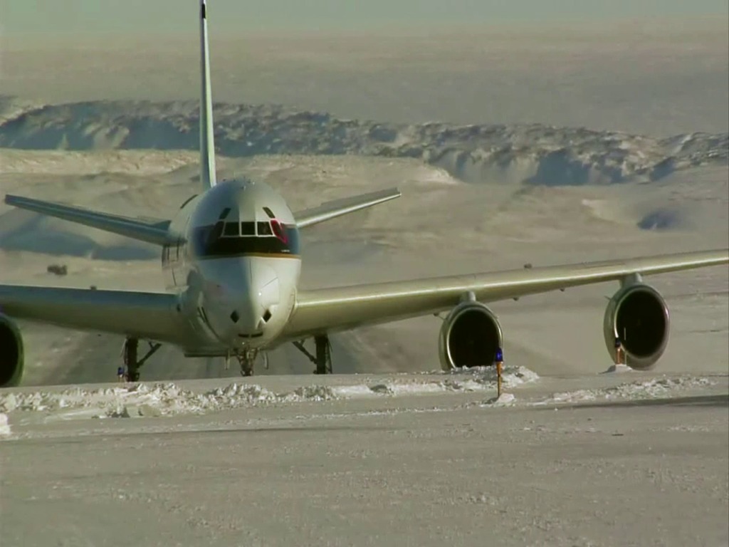
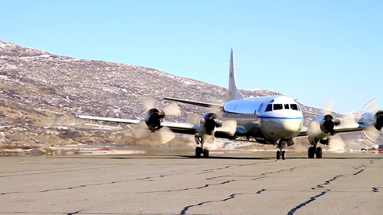
Go to this pageNASA's Operation IceBridge enters the second phase of the Arctic 2010 campaign in Greenland. Next week, NASA's DC-8 aircraft will return from Thule Air Base in Greenland to Dryden Flight Research Center in California. The fully equipped P-3B airplane will deploy from NASA's Wallops Flight Facility in Virginia to Kangerlussuaq, Greenland for the remainder of the mission. The mission is measuring the Arctic ice sheet, glaciers and sea ice. ||
IceBridge Antarctic 2010 Video File
Go to this pageOperation IceBridge video file for the Antarctic 2010 campaign. ||
2011
IceBridge Update Podcast
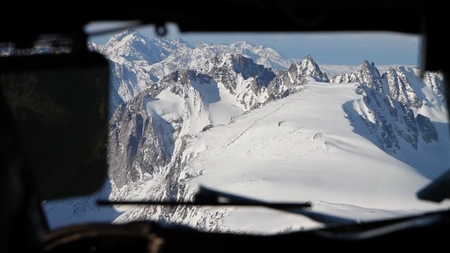
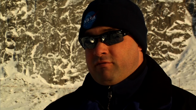
Go to this pageScience writer Kathryn Hansen and video producer Jefferson Beck give an update on Operation IceBridge from the field. They interview NASA engineer Kyle Krabill about the weather in Greenland and the flying conditions so far.For complete transcript, click here. || glacier_through_cockpit-640x360.png (640x360) [269.0 KB] || glacier_through_cockpit-80x40.png (80x40) [9.9 KB] || glacier_through_cockpit-160x80.png (160x80) [27.7 KB] || glacier_through_cockpit-320x180.png (320x180) [82.6 KB] || kj_podcast_1-portal_upload.webmhd.webm (960x540) [27.6 MB] || kj_podcast_1-portal_upload.mov (640x360) [49.2 MB] || kj_podcast_1-portal_upload_ipod_lg.m4v (640x360) [51.1 MB] || kj_podcast_1-portal_upload_ipod_sm.mp4 (320x240) [26.3 MB] ||
Eight Down, One To Go
Go to this pageAs of April 6, 2011, crew and scientists with NASA's Operation IceBridge mission have completed eight out of nine planned sea ice flights from Thule, Greeenland, and plan to fly one more from Kangerlussuaq. Michael Studinger, IceBridge project scientist at NASA's Goddard Space Flight Center in Greenbelt, Md., talks about the successes and challenges of logging 30,000 kilometers in an Arctic environment. Credit: NASA/Jefferson Beck ||
Operation IceBridge Flies the Ice Caps
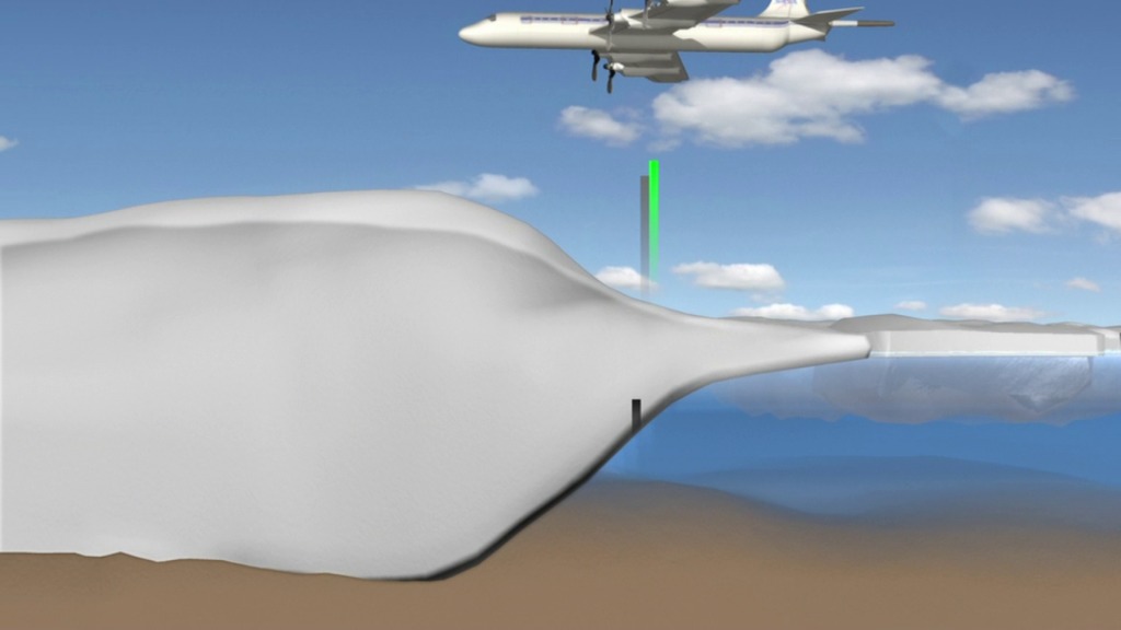
Go to this pageIce caps are simply small versions of ice sheets, measuring in at a maximum area of 50,000 square kilometers (about 19,000 square miles). It's their small and thin stature that makes ice caps more prone to melt in a warming Arctic. Charles Webb of NASA's Goddard Space Flight Center in Greenbelt, Md., explains the importance of monitoring ice caps in the Canadian Arctic A few flights within NASA's Operation IceBridge — an airborne mission to monitor Earth's polar ice — are adding to the long-term record of ice cap changes. Such a record can provide insight into ice cap dynamics as well as provide an early-warning indicator of the impacts of climate change. ||
Building a Bigger Bridge - OIB 2011 Preview
Go to this pageOperation IceBridge is heading back into the Arctic with two aircraft and the most sophisticated suite of instruments ever flown in polar regions. This year's mission will focus on sea ice thickness, the Canadian Ice Caps, Greenland ice sheet dynamics, and flyovers of the European Space Agency's CryoSat-2 ground validation sites. ||
OIB Arctic 2011 45-second Package
Go to this pageIce near the poles is changing. In spring 2011, the annual maximum extent of Arctic sea ice was among the lowest in the satellite record. Using satellites to track Arctic ice and comparing it with previous years is one way that scientists gauge the Arctic's health and the impacts of climate change. Now, NASA scientists are in the field for the most recent leg of Operation IceBridge, a six year mission to study the Earth's polar regions, not from satellites, but from onboard aircraft. Over the next eight weeks, researchers will fly over the Arctic aboard airborne science laboratories, tracking changes to ice cover and glaciers, and even performing some measurements not possible from space. For more information, go to www.nasa.gov/icebridge ||
2012
NASA'S Operación IceBridge
Go to this pageFor complete transcript in English, click here.For complete transcript in Spanish, click here. || Operation_IceBridge_en_Espanol_youtube_hq.00402_print.jpg (1024x576) [101.1 KB] || Operation_IceBridge_en_Espanol_youtube_hq_web.png (320x180) [277.1 KB] || Operation_IceBridge_en_Espanol_youtube_hq_thm.png (80x40) [17.4 KB] || Operation_IceBridge_en_Espanol_1280x720.wmv (1280x720) [78.0 MB] || Operation_IceBridge_en_Espanol_appletv.m4v (960x540) [72.0 MB] || Operation_IceBridge_en_Espanol_prores.mov (1280x720) [2.4 GB] || Operation_IceBridge_en_Espanol_youtube_hq.mov (1280x720) [90.6 MB] || Operation_IceBridge_en_Espanol_720x480.webmhd.webm (960x540) [28.4 MB] || Operation_IceBridge_en_Espanol.mov (640x360) [67.1 MB] || Operation_IceBridge_en_Espanol_720x480.wmv (720x480) [53.7 MB] || Operation_IceBridge_en_Espanol_ipod_lg.m4v (640x360) [28.7 MB] || Operation_IceBridge_en_Espanol_ipod_sm.mp4 (320x240) [15.3 MB] ||
Five teachers, 500 meters above Greenland
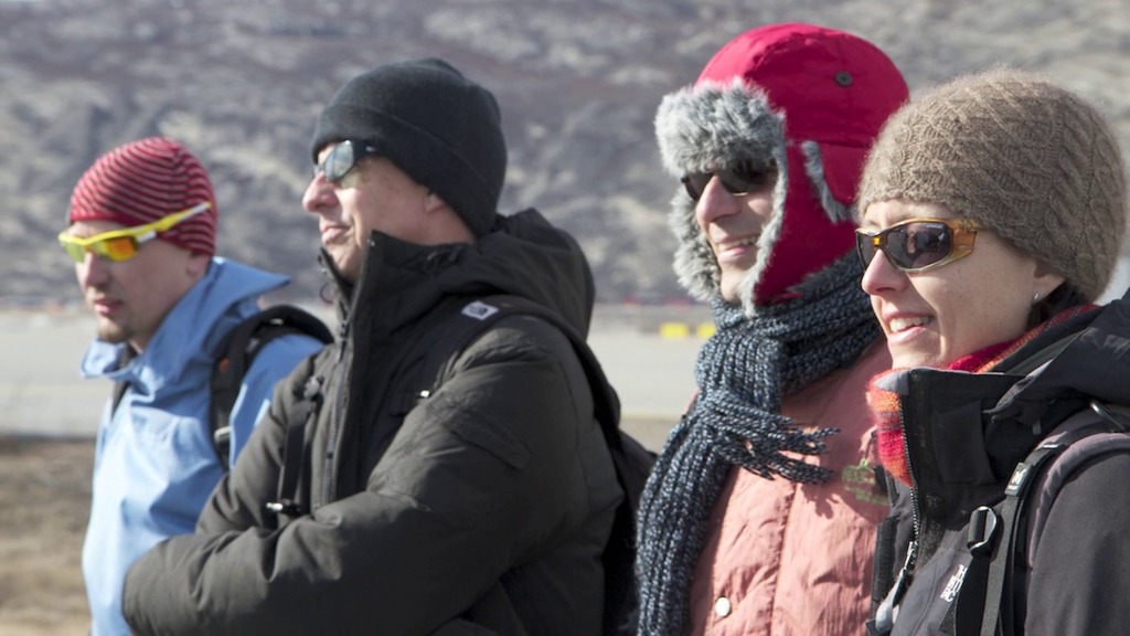
Go to this pageThis year five teachers were invited on board NASA's P-3B aircraft to fly at 500 meters above the glaciers of Greenland with Operation IceBridge, a six-year mission to study Arctic and Antarctic ice. Two teachers from Greenland, two from Denmark, and one from the United States were given the opportunity to see polar research first hand, and then take that experience back to their classrooms.For complete transcript, click here. || Teachers_fly_Greenland_OIB_youtube_hq.00602_print.jpg (1024x576) [124.5 KB] || Teachers_fly_Greenland_OIB_youtube_hq_web.png (320x180) [289.0 KB] || Teachers_fly_Greenland_OIB_youtube_hq_thm.png (80x40) [17.8 KB] || Teachers_fly_Greenland_OIB_appletv.m4v (960x540) [136.7 MB] || Teachers_fly_Greenland_OIB_prores.mov (1280x720) [4.7 GB] || Teachers_fly_Greenland_OIB_youtube_hq.mov (1280x720) [170.4 MB] || Teachers_fly_Greenland_OIB_appletv.webmhd.webm (960x540) [56.1 MB] || Teachers_fly_Greenland_OIB.mov (640x360) [129.8 MB] || Teachers_fly_Greenland_OIB_ipod_lg.m4v (640x360) [53.9 MB] || Teachers_fly_Greenland_OIB_ipod_sm.mp4 (320x240) [28.6 MB] ||
OIB: NASA and ESA in an Arctic Alliance
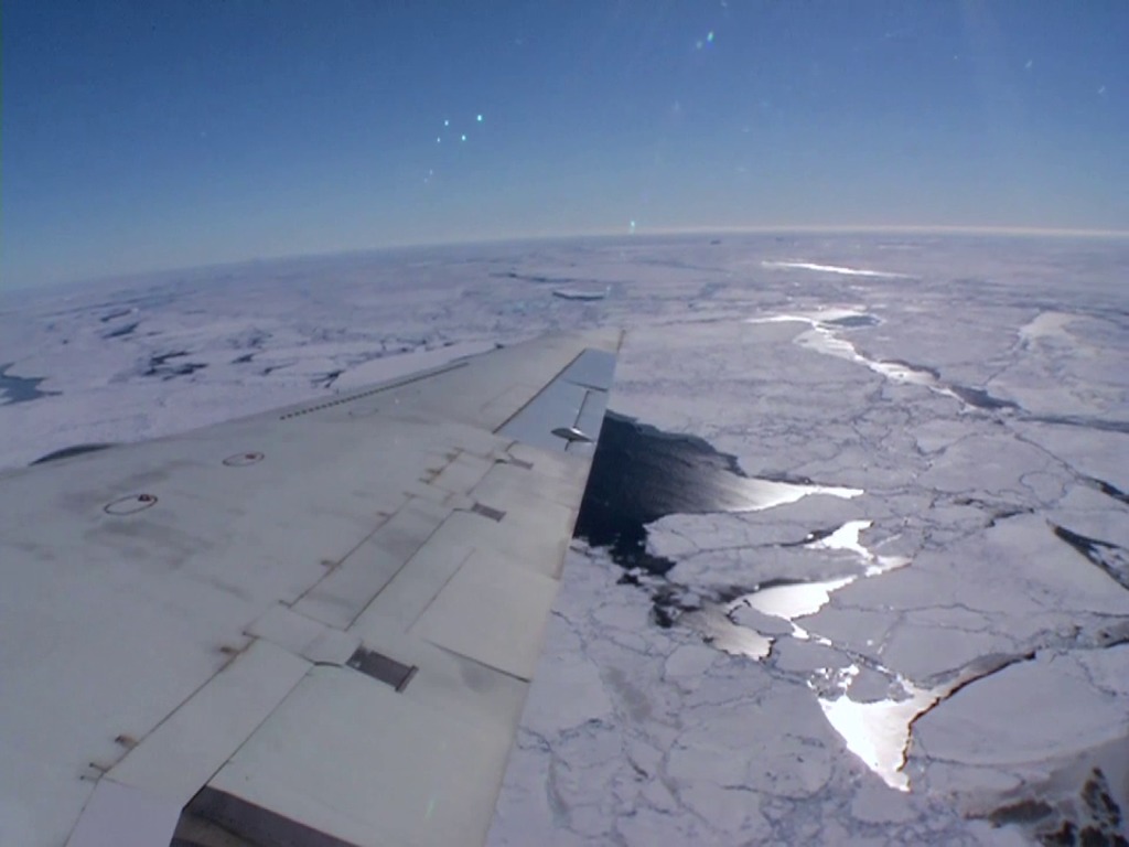
Go to this pageFor the second straight year, NASA's Operation IceBridge is collaborating with the European Space Agency's CryoVEx program, flying aircraft low over Arctic sea ice while ESA's CryoSat satellite orbits above. In this video, IceBridge Project Scientist Michael Studinger discusses the benefits of the long term joint data set the agencies are creating. ||
2013
Greenland's Mega Canyon (narrated video)
Go to this pageHidden for all of human history, a 460 mile long canyon has been discovered below Greenland's ice sheet. Using radar data from NASA's Operation IceBridge and other airborne campaigns, scientists led by a team from the University of Bristol found the canyon runs from near the center of the island northward to the fjord of the Petermann Glacier. A large portion of the data was collected by IceBridge from 2009 through 2012. One of the mission's scientific instruments, the Multichannel Coherent Radar Depth Sounder, operated by the Center for the Remote Sensing of Ice Sheets at the University of Kansas, can see through vast layers of ice to measure its thickness and the shape of bedrock below. This is a narrated version of an visualization that can be found, along with more detailed information, at Greenland's Mega-Canyon beneath the Ice Sheet (#4097). ||
From the Cockpit: The Best of IceBridge Arctic 2013
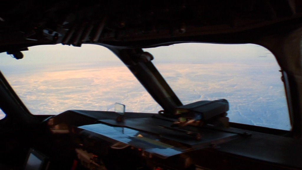
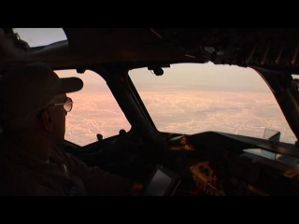
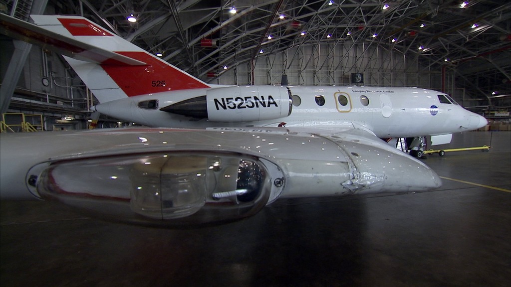
Go to this pageThe views from the cockpit of NASA's P-3B aircraft on an Operation IceBridge campaign are truly stunning. The mission doesn't travel to both ends of the Earth for the scenery of course — the airborne mission is there to collect radar, laser altimetry, and other data on the changing ice sheets, glaciers, and sea ice of the Arctic and Antarctic. But for those of us who aren't polar pilots, here's a selection of some of the best footage from the forward and nadir cameras mounted to the aircraft taken during IceBridge's spring deployment over Greenland and the Arctic Ocean. ||
Flying Low over Southeast Greenland
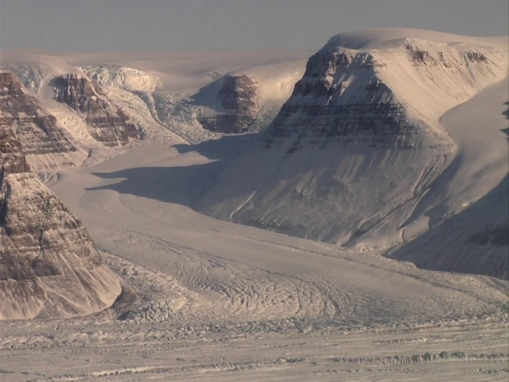
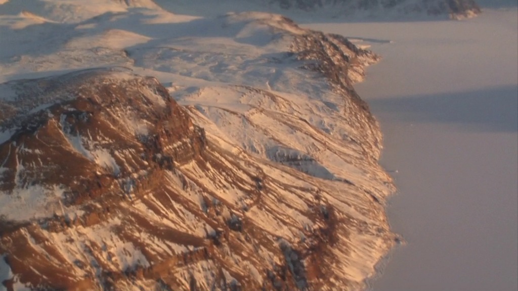
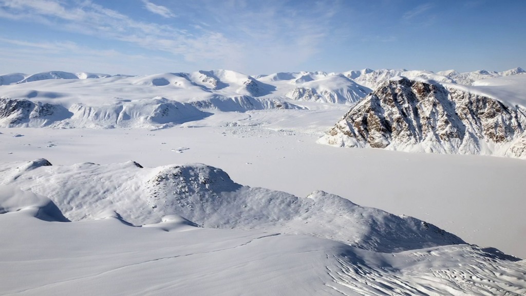
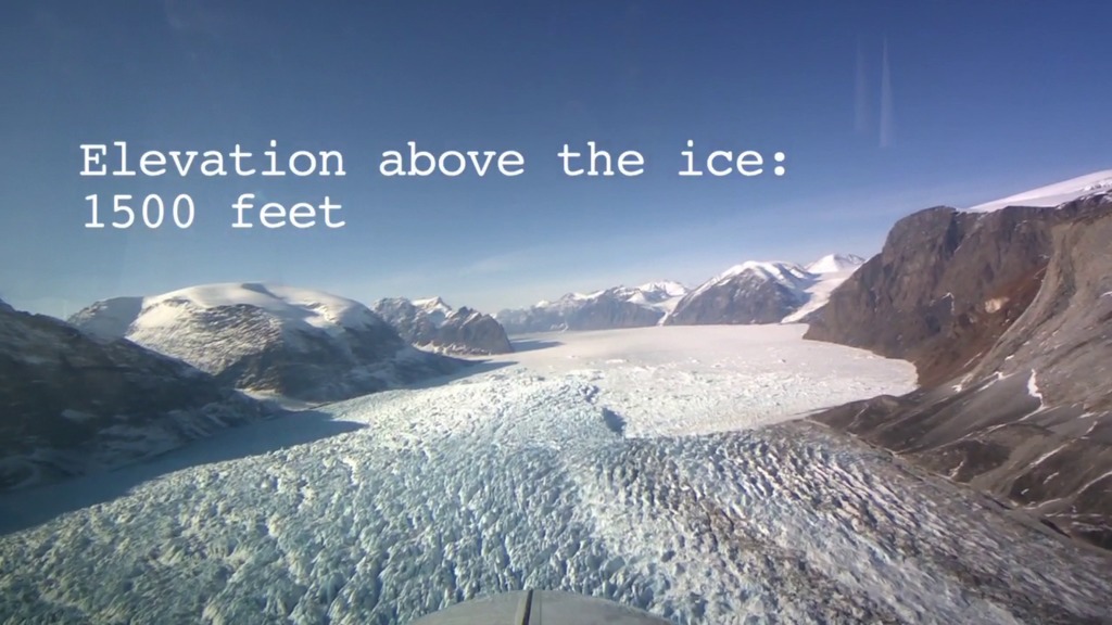
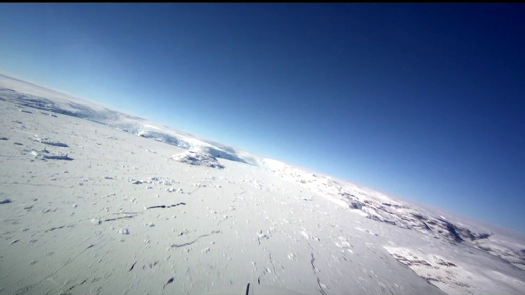
Go to this pageFew of us ever get to see Greenland's glaciers from 500 meters above the ice. But in this video — recorded on April 9, 2013 in southeast Greenland using a cockpit camera installed and operated by the National Suborbital Education and Research Center, or NSERC — we see what Operation IceBridge's pilots see as they fly NASA's P-3B airborne laboratory low over the Arctic. Following a glacier's sometimes winding flow line gives IceBridge researchers a perspective on the ice not possible from satellites which pass in straight lines overhead. By gathering such data, IceBridge is helping to build a continuous record of change in the polar regions. ||
Keeping a Close Eye on Jakobshavn
Go to this pageJakobshavn Glacier, one of the fastest moving glaciers in Greenland, has been the focus of IceBridge survey flights for five consecutive years. Here, images from an IceBridge mission on Apr. 4, 2013 and video footage from the 2012 Arctic campaign show this rapidly changing ice stream and how IceBridge is using its suite of airborne instruments to collect crucial data on ice movement and how much glaciers like Jakobshavn might contribute to future sea level rise. ||
Operation IceBridge: Wheels Down in Thule
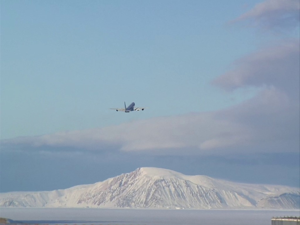
Go to this pageNASA's Operation IceBridge begins another season of science over the Arctic with survey flights out of Greenland. For the next several weeks, IceBridge will carry out a research campaign — the result of months of planning and discussion — to study Arctic sea ice, glaciers, and ice sheets. ||
2014
Operation IceBridge Arctic 2014 Campaign video series
Go to this pageIceBridge, a six-year NASA mission, is the largest airborne survey of Earth's polar ice ever flown. It will yield an unprecedented three-dimensional view of Arctic and Antarctic ice sheets, ice shelves and sea ice. These flights will provide a yearly, multi-instrument look at the behavior of the rapidly changing features of the Greenland and Antarctic ice.Data collected during IceBridge will help scientists bridge the gap in polar observations between NASA's Ice, Cloud and Land Elevation Satellite (ICESat) — in orbit since 2003 — and ICESat-2, planned for early 2016. ICESat stopped collecting science data in 2009, making IceBridge critical for ensuring a continuous series of observations. ||
2015
Operation IceBridge Arctic 2015 video series
Go to this pageFor more IceBridge videos NASA’s Operation IceBridge has wrapped up its 2015 Arctic field campaign after covering a vast expanse of science targets during 33 different flights over land ice, sea ice, and glaciers. The airborne campaign flies over the Arctic and Antarctic every year measuring changes in the ice with instruments like radar and lasers. For more on IceBridge, visit NASA's IceBridge webpage. ||
IceBridge Rendezvous with an Ice-Bound Vessel
Go to this pageFor complete transcript, click here. || Ice_Bound_Rendezvous_OIB_youtube_hq_print.jpg (1024x576) [63.3 KB] || Ice_Bound_Rendezvous_OIB_youtube_hq_searchweb.png (320x180) [65.3 KB] || Ice_Bound_Rendezvous_OIB_youtube_hq_web.png (320x180) [65.3 KB] || Ice_Bound_Rendezvous_OIB_youtube_hq_thm.png (80x40) [4.9 KB] || Ice_Bound_Rendezvous_OIB_prores.mov (1280x720) [1.2 GB] || Ice_Bound_Rendezvous_OIB_youtube_hq.mov (1280x720) [22.5 MB] || Ice_Bound_Rendezvous_OIB_1280x720.wmv (1280x720) [29.8 MB] || Ice_Bound_Rendezvous_OIB_appletv.m4v (960x540) [36.4 MB] || Ice_Bound_Rendezvous_OIB_appletv_subtitles.m4v (960x540) [36.3 MB] || Ice_Bound_Rendezvous_OIB_nasaportal.mov (640x360) [28.4 MB] || Ice_Bound_Rendezvous_OIB_ipod_lg.m4v (640x360) [15.1 MB] || Ice_Bound_Rendezvous_OIB_720x480.wmv (720x480) [18.4 MB] || Rendezvous.en_US.srt [1.9 KB] || Ice_Bound_Rendezvous_OIB_720x480.webm (720x480) [10.1 MB] || Ice_Bound_Rendezvous_OIB_ipod_sm.mp4 (320x240) [7.0 MB] ||
IceBridge Kicks Off Campaign with "New" Aircraft
Go to this pageFor complete transcript, click here. || OIB_Arctic_2015_kickoff_11820_appletv_print.jpg (1024x576) [84.6 KB] || OIB_Arctic_2015_kickoff_11820_appletv_searchweb.png (320x180) [77.9 KB] || OIB_Arctic_2015_kickoff_11820_appletv_web.png (320x180) [77.9 KB] || OIB_Arctic_2015_kickoff_11820_appletv_thm.png (80x40) [5.4 KB] || OIB_Arctic_2015_kickoff_11820_prores.mov (1280x720) [1.1 GB] || OIB_Arctic_2015_kickoff_11820_1280x720.wmv (1280x720) [27.9 MB] || OIB_Arctic_2015_kickoff_11820_appletv.m4v (960x540) [65.1 MB] || OIB_Arctic_2015_kickoff_11820_youtube_hq.mov (1920x1080) [262.6 MB] || OIB_Arctic_2015_kickoff_11820_appletv_subtitles.m4v (960x540) [65.0 MB] || OIB_Arctic_2015_kickoff_11820_720x480.wmv (720x480) [63.0 MB] || OIB_Arctic_2015_kickoff_11820_720x480.webm (720x480) [17.0 MB] || OIB_Aircraft.en_US.srt [3.5 KB] || OIB_Aircraft.en_US.vtt [3.4 KB] || OIB_Arctic_2015_kickoff_11820_ipod_sm.mp4 (320x240) [13.7 MB] ||
IceBridge Flies High over Both Poles
Go to this pageIceBridge_north_south_smallest_print.jpg (1024x576) [137.8 KB] || IceBridge_north_south_smallest_searchweb.png (320x180) [95.5 KB] || IceBridge_north_south_smallest_web.png (320x180) [95.5 KB] || IceBridge_north_south_smallest_thm.png (80x40) [6.6 KB] || OIB_flies_high_both_poles_Oct_2015.mov (1920x1080) [7.0 GB] || OIB_flies_high_both_poles_Oct_2015_lowres.webm (480x272) [27.5 MB] || OIB_flies_high_both_poles_Oct_2015_lowres.mp4 (480x272) [36.2 MB] ||
2016
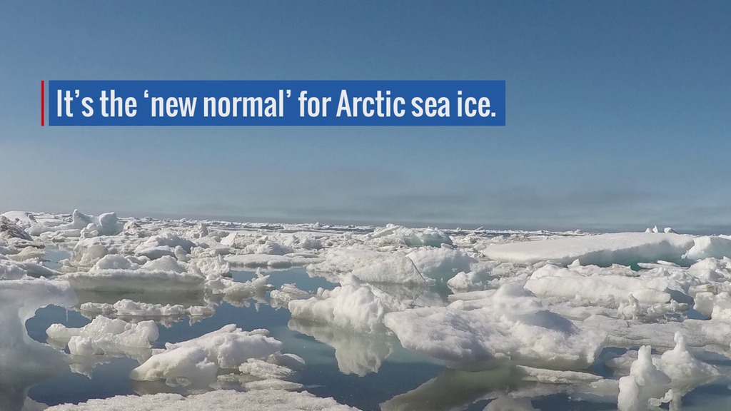
Measuring Sea Ice at the Peak of Melt
Go to this pageComplete transcript available. || Arctic_sea_ice_Aug_2016_CorrectedFinal.00120_print.jpg (1024x576) [125.5 KB] || Arctic_sea_ice_Aug_2016_CorrectedFinal.00120_searchweb.png (180x320) [80.1 KB] || Arctic_sea_ice_Aug_2016_CorrectedFinal.00120_web.png (320x180) [80.1 KB] || Arctic_sea_ice_Aug_2016_CorrectedFinal.00120_thm.png (80x40) [5.9 KB] || Arctic_sea_ice_Aug_2016_CorrectedFinal.mp4 (1920x1080) [78.7 MB] || Arctic_sea_ice_Aug_2016_FINAL_HD.mov (1920x1080) [2.2 GB] || Arctic_sea_ice_Aug_2016_CorrectedFinal.webm (1920x1080) [9.8 MB] || Arctic_sea_ice_Aug_2016_CorrectedFinal.en_US.srt [1.1 KB] || Arctic_sea_ice_Aug_2016_CorrectedFinal.en_US.vtt [1.1 KB] ||
2017
Big Year for NASA’s IceBridge in 2017
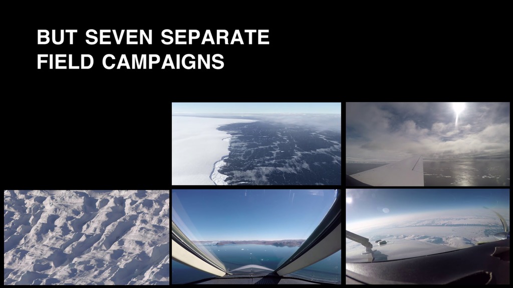
Go to this pageAll seven campaigns are captured in this highlight video. || Big_Year_OIB_2017_final_web.00840_print.jpg (1024x576) [100.5 KB] || Big_Year_OIB_2017_final_web.00840_thm.png (80x40) [5.1 KB] || Big_Year_OIB_2017_final_web.00840_searchweb.png (320x180) [60.4 KB] || Big_Year_OIB_2017_final_web.00840_web.png (320x180) [60.4 KB] || Big_Year_OIB_2017_final.mov (1920x1080) [5.5 GB] || Big_Year_OIB_2017_final_web.mp4 (1920x1080) [213.4 MB] || Big_Year_OIB_2017_final.webm (1920x1080) [22.8 MB] || Big_Year_OIB_2017_final_web.en_US.srt [1.6 KB] || Big_Year_OIB_2017_final_web.en_US.vtt [1.6 KB] ||
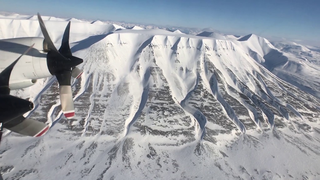
IceBridge tackles Svalbard, North Pole, and Greenland in One Day
Go to this pageComplete transcript available. || Zigzag_East_final_youtube.00480_print.jpg (1024x576) [170.1 KB] || Zigzag_East_final_youtube.00480_searchweb.png (180x320) [108.4 KB] || Zigzag_East_final_youtube.00480_web.png (320x180) [108.4 KB] || Zigzag_East_final_youtube.00480_thm.png (80x40) [7.7 KB] || Zigzag_East_final_youtube.mp4 (1920x1080) [257.3 MB] || Zigzag_East_final.mov (1920x1080) [3.2 GB] || Zigzag_East_smaller.mov (1280x720) [1.6 GB] || Zigzag_East_smaller.webm (1280x720) [26.3 MB] || Zigzag_East_final_youtube.en_US.srt [4.2 KB] || Zigzag_East_final_youtube.en_US.vtt [4.1 KB] ||
2018
Dr. Piers Sellers in Greenland
Go to this pageA short video featuring Dr. Sellers' views on Greenland, climate, and IceBridge. || Piers_OIB_3_1.00240_print.jpg (1024x576) [19.3 KB] || Piers_OIB_3_1.00240_searchweb.png (320x180) [9.7 KB] || Piers_OIB_3_1.00240_thm.png (80x40) [1.5 KB] || Piers_OIB_3_1.mov (1280x720) [211.9 MB] || Piers_OIB_3_1.webm (1280x720) [8.5 MB] || Piers_OIB.en_US.srt [1.4 KB] || Piers_OIB.en_US.vtt [1.4 KB] ||
Cryosphere | Episode 2: The Snow Below
Go to this pageMusic: "Cristal Delight," Fred Dubois [SACEM]; "Life Defrosts," Richard Andrew Canavan [PRS]; "Locate," Neil Pollard [PRS]; "CSI," Anthony Edwin Phillips [PRS]; "Swish," Charles Stephens III [ASCAP], Stephan Sechi [ASCAP]; "Natural Beauty," Benjamin Stefanski [PRS]Watch this video on the NASA.gov Video YouTube channel. || CRYO_EP2_Titlecard_print.jpg (1024x576) [230.7 KB] || CRYO_EP2_Titlecard_searchweb.png (320x180) [144.2 KB] || CRYO_EP2_Titlecard_thm.png (80x40) [8.6 KB] || CRYO_EP2_Snow_Below_prores.mov (1920x1080) [5.3 GB] || CRYOEP2v6.mp4 (1920x1080) [391.0 MB] || CRYO_EP2_Snow_Below_prores.webm (1920x1080) [41.6 MB] || CRYOEP2v6.en_US.srt [7.2 KB] || CRYOEP2v6.en_US.vtt [7.2 KB] ||
Cryosphere | Episode 8: The Launch
Go to this pageMusic: "Ideas for Tomorrow," Laurent Dury [SACEM]; "Swish," Charles Stephens III [ASCAP], Stephan Sechi [ASCAP]; "Suburban Waltz," Christopher Mark Salt [PRS], Philip Guyler [PRS]; "Buoys," Donn Wilkerson [BMI]; "Late Night Drive," Donn Wilkerson [BMI]; "The BBQ," Alexander Hitchens [BMI], Wally Gagel [ASCAP], Xandy Barry [ASCAP]; "A Pizzicato Piece," Andrew Michael Britton [PRS], David Stephen Goldsmith [PRS]Watch this video on the NASA.gov Video YouTube channel.Additional footage provided by Tom Neumann, United Launch Alliance, Kennedy Space Center, NASA Earth Observatory, Dr. Justin Beckers & Dr. Christian Haas and pond5.com || CRYO_EP8_Titlecard_print.jpg (1024x576) [81.2 KB] || CRYO_EP8_Titlecard_searchweb.png (320x180) [74.4 KB] || CRYO_EP8_Titlecard_thm.png (80x40) [5.9 KB] || CRYOEP8_LAUNCH_prores.mov (1920x1080) [4.8 GB] || CRYOEP8_LAUNCH.mp4 (1920x1080) [382.1 MB] || CRYOEP8_LAUNCH_prores.webm (1920x1080) [40.6 MB] || CRYO_EP8.en_US.srt [6.4 KB] || CRYO_EP8.en_US.vtt [6.4 KB] ||
2019
Modeling the Future of the Greenland Ice Sheet
Go to this pageMusic: Tides by Jon Cotton [PRS], Ben Niblett [PRS]Complete transcript available. || Greenland_Still_Two.jpg (1920x1080) [941.0 KB] || Greenland_Still_Two_searchweb.png (320x180) [152.3 KB] || Greenland_Still_Two_thm.png (80x40) [8.8 KB] || 13233_Greenland_Outlet_FINAL.mp4 (1920x1080) [253.2 MB] || 13233_Greenland_Outlet_FINAL.mov (1920x1080) [3.4 GB] || 13233_Greenland_Outlet_FINAL.webm (1920x1080) [17.2 MB] || 13233_Greenland_Outlet_FINAL_VX-303985.webm (960x540) [54.0 MB] || GreenlandOutletModel_Fine_V2.en_US.srt [2.9 KB] || GreenlandOutletModel_Fine_V2.en_US.vtt [2.9 KB] ||
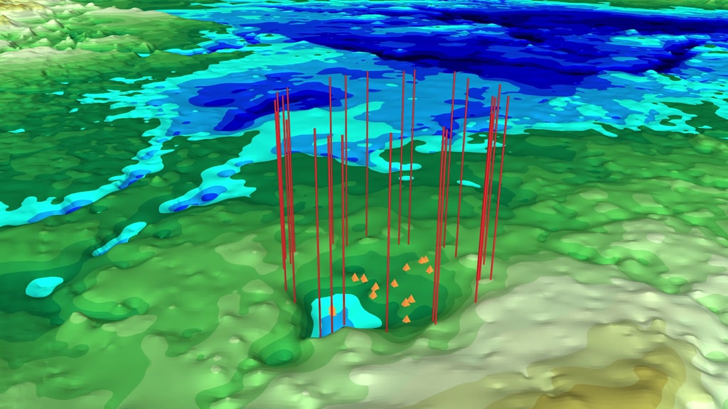
NASA Finds Second Massive Greenland Crater
Go to this pageText-on-screen video about a possible new impact crater under Greenland's ice || C2_TOS_Final.00768_print.jpg (1024x576) [142.6 KB] || C2_TOS_Final.00768_searchweb.png (180x320) [98.7 KB] || C2_TOS_Final.00768_thm.png (80x40) [7.3 KB] || C2_TOS_Final.mp4 (1920x1080) [67.0 MB] || C2_TOS_Final.webm (1920x1080) [6.9 MB] || C2_TOS_Final.en_US.srt [1.2 KB] || C2_TOS_Final.en_US.vtt [1.2 KB] ||
![Studinger: NASA's Operation IceBridge is a six-year campaign that monitors the sea ice and the land ice over the Arctic and the Antarctic.Over the past couple of weeks we have collected a tremendous data set over the sea ice in the Arctic Ocean that will allow us to calibrate the European Space Agency's Cryosat 2 satellitee. And we were able to do this because we were pooling resources between ESA's Cryovex campaign and NASA's Operation IceBridge. And this joint data set will allow us to build a joint time series of measurements in the Arctic Ocean This was the second year in a row that we have collected data on the ground in the air, and from satellite measurements at the same time, and this data set will help us greatly to understand the data and calibrate the data that are being collected by satellites from space. The data sets that we are collecting will also help develop better techniques for ICESat2 and together with all these satellite missions we hope to build a very long time series, beginning with ICESat one, covering over IceBridge, Cryosat 2, and leading up to ICESat 2 in the future. [wind sounds]](/vis/a010000/a010900/a010969/OIB_ESA_collaboration_compressed_lg.00077_print.jpg)



![Music: "Cristal Delight," Fred Dubois [SACEM]; "Life Defrosts," Richard Andrew Canavan [PRS]; "Locate," Neil Pollard [PRS]; "CSI," Anthony Edwin Phillips [PRS]; "Swish," Charles Stephens III [ASCAP], Stephan Sechi [ASCAP]; "Natural Beauty," Benjamin Stefanski [PRS]Watch this video on the NASA.gov Video YouTube channel.](/vis/a010000/a013100/a013119/CRYO_EP2_Titlecard_print.jpg)
![Music: "Ideas for Tomorrow," Laurent Dury [SACEM]; "Swish," Charles Stephens III [ASCAP], Stephan Sechi [ASCAP]; "Suburban Waltz," Christopher Mark Salt [PRS], Philip Guyler [PRS]; "Buoys," Donn Wilkerson [BMI]; "Late Night Drive," Donn Wilkerson [BMI]; "The BBQ," Alexander Hitchens [BMI], Wally Gagel [ASCAP], Xandy Barry [ASCAP]; "A Pizzicato Piece," Andrew Michael Britton [PRS], David Stephen Goldsmith [PRS]Watch this video on the NASA.gov Video YouTube channel.Additional footage provided by Tom Neumann, United Launch Alliance, Kennedy Space Center, NASA Earth Observatory, Dr. Justin Beckers & Dr. Christian Haas and pond5.com](/vis/a010000/a013100/a013118/CRYO_EP8_Titlecard_print.jpg)
![Music: Tides by Jon Cotton [PRS], Ben Niblett [PRS]Complete transcript available.](/vis/a010000/a013200/a013233/Greenland_Still_Two.jpg)
