Operation IceBridge - Arctic Campaigns
Aircraft
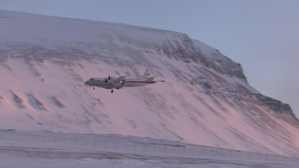
Operation IceBridge - Svalbard Landing
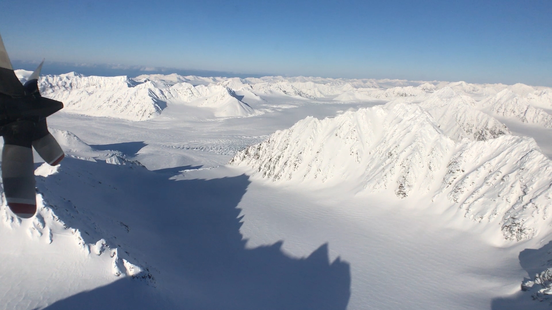
Go to this pageIn 2017, IceBridge expanded its reach to explore the Arctic’s Eurasian Basin through two research flights based out of Svalbard, a Norwegian archipelago in the northern Atlantic Ocean.The addition of Svalbard allowed the mission to collect data on sea ice and snow in a scarcely measured section of the Arctic Ocean and its surrounding seas, along with measurements of a few glaciers in the Svalbard archipelago. ||
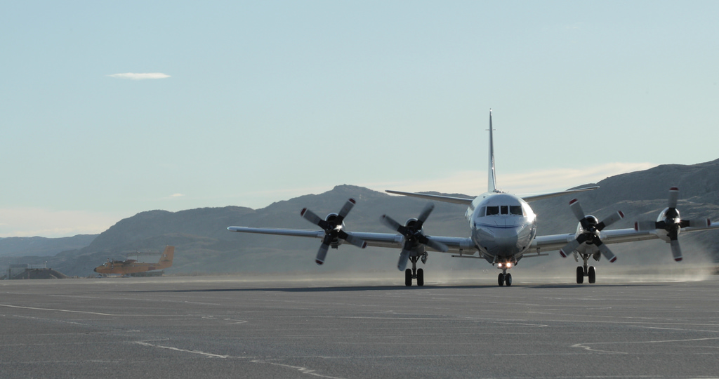
Operation IceBridge - P3 on Runway
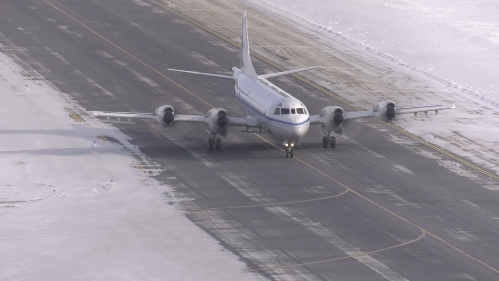
Go to this page4K Wide shot of P3-Orion taxiing on runway. Filmed during the 2019 Arctic campaign. NOTE: The audio on this clip varies widely and includes loud aircraft noise. We advise turning down/off sound when previewing this item. || 13450_P3_Taxi_Canon_2019_4K.mov.00_03_13_57.Still001_print.jpg (1024x540) [190.7 KB] || 13450_P3_Taxi_Canon_2019_4K.mov.00_03_13_57.Still001.jpg (4096x2160) [2.0 MB] || 13450_P3_Taxi_Canon_2019_4K.mov.00_03_13_57.Still001_searchweb.png (320x180) [81.2 KB] || 13450_P3_Taxi_Canon_2019_4K.mov.00_03_13_57.Still001_web.png (320x168) [75.8 KB] || 13450_P3_Taxi_Canon_2019_4K.mov.00_03_13_57.Still001_thm.png (80x40) [5.6 KB] || YOUTUBE_1080_13450_P3_Taxi_Canon_2019_4K_youtube_1080.mp4 (1920x1080) [149.9 MB] || 13450_P3_Taxi_Canon_2019_4K.webm (960x540) [37.5 MB] || 13450_P3_Taxi_Canon_2019_4K.mov (4096x2160) [9.1 GB] ||
Operation IceBridge - Inspecting P3 Aircraft
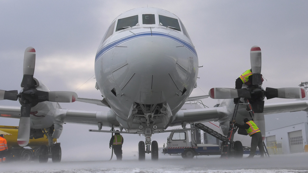
Go to this pageNASA’s Operation IceBridge images Earth’s polar ice in unprecedented detail to better understand processes that connect the polar regions with the global climate system. IceBridge utilizes a highly specialized fleet of research aircraft and the most sophisticated suite of innovative science instruments ever assembled to characterize annual changes in thickness of sea ice, glaciers, and ice sheets. In addition, IceBridge collects critical data used to predict the response of earth’s polar ice to climate change and resulting sea-level rise.The IceBridge 2019 springtime flights use NASA Wallops Flight Facility’s P-3 Orion aircraft. The plane carries a comprehensive instrument suite: two laser altimeters that measure ice surface elevation, two radar systems to study snow layers and the bedrock underneath the ice sheet, a high-resolution camera that generates georeferenced images of polar ice, a hyperspectral imager that records the brightness of the surface across a wide spectral range, and an infrared camera to measure the surface temperature of ice. ||
Operation IceBridge - P3 Taxi in Thule, Greenland
Go to this page4K B-roll collection of P3-Orion on runway at Thule Air Base. Filmed during the 2018 Arctic campaign. NOTE: The audio on this clip varies widely and includes loud aircraft noise. We advise turning down/off sound when previewing this item. || 13453_4K_P3_2018_Taxi.mov.00_07_58_23.Still001_print.jpg (1024x576) [223.1 KB] || 13453_4K_P3_2018_Taxi.mov.00_07_58_23.Still001.jpg (3840x2160) [2.1 MB] || 13453_4K_P3_2018_Taxi.mov.00_07_58_23.Still001_searchweb.png (320x180) [111.3 KB] || 13453_4K_P3_2018_Taxi.mov.00_07_58_23.Still001_web.png (320x180) [111.3 KB] || 13453_4K_P3_2018_Taxi.mov.00_07_58_23.Still001_thm.png (80x40) [8.3 KB] || YOUTUBE_1080_13453_4K_P3_2018_Taxi_youtube_1080.mp4 (1920x1080) [411.5 MB] || 13453_4K_P3_2018_Taxi.webm (960x540) [114.2 MB] || 13453_4K_P3_2018_Taxi.mov (3840x2160) [11.4 GB] ||
Operation IceBridge - P3 Cockpit Arctic Campaign
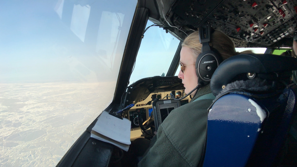
Go to this pageB-roll of cockpit operations of P3-Orion aircraft. Filmed during the 2018 Arctic campaign. NOTE: The audio on this clip varies widely and includes loud aircraft noise. We advise turning down/off sound when previewing this item. || 13454_iPhone_2018_Cockpit.mov.00_13_02_03.Still001_print.jpg (1024x576) [273.9 KB] || 13454_iPhone_2018_Cockpit.mov.00_13_02_03.Still001.jpg (3840x2160) [1.8 MB] || 13454_iPhone_2018_Cockpit.mov.00_13_02_03.Still001_searchweb.png (320x180) [135.0 KB] || 13454_iPhone_2018_Cockpit.mov.00_13_02_03.Still001_web.png (320x180) [135.0 KB] || 13454_iPhone_2018_Cockpit.mov.00_13_02_03.Still001_thm.png (80x40) [9.1 KB] || YOUTUBE_1080_13454_iPhone_2018_Cockpit_youtube_1080.mp4 (1920x1080) [53.6 MB] || 13454_iPhone_2018_Cockpit.webm (960x540) [15.3 MB] || 13454_iPhone_2018_Cockpit.mov (3840x2160) [3.3 GB] ||
Operation IceBridge - P3 Taxi and Takeoff in Thule, Greenland
Go to this pageB-roll collection of 4K footage of P3-Orion at Thule Air Base. Filmed during the 2017 Arctic campaign. NOTE: The audio on this clip varies widely and includes loud aircraft noise. We advise turning down/off sound when previewing this item. || 13455_4K_P3_2017_TakeOffLandTaxi.mov.00_11_36_18.Still001_print.jpg (1024x576) [207.5 KB] || 13455_4K_P3_2017_TakeOffLandTaxi.mov.00_11_36_18.Still001.jpg (3840x2160) [2.0 MB] || 13455_4K_P3_2017_TakeOffLandTaxi.mov.00_11_36_18.Still001_searchweb.png (320x180) [103.9 KB] || 13455_4K_P3_2017_TakeOffLandTaxi.mov.00_11_36_18.Still001_web.png (320x180) [103.9 KB] || 13455_4K_P3_2017_TakeOffLandTaxi.mov.00_11_36_18.Still001_thm.png (80x40) [7.5 KB] || YOUTUBE_1080_13455_4K_P3_2017_TakeOffLandTaxi_youtube_1080.mp4 (1920x1080) [523.8 MB] || 13455_4K_P3_2017_TakeOffLandTaxi.webm (960x540) [135.9 MB] || 13455_4K_P3_2017_TakeOffLandTaxi.mov (3840x2160) [15.5 GB] ||
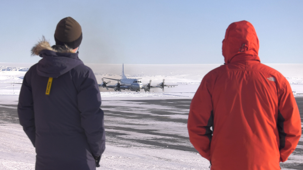
Operation IceBridge - P3 on Runway in Thule, Greenland
Go to this pageNASA's P-3 is a four-engine turboprop based out of Wallops and capable of long duration flights of 8-12 hours. It is supporting the same suite of IceBridge instruments flown in the past IceBridge Arctic and Antarctic campaigns. ||
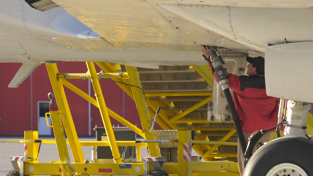
Operation IceBridge - Loading Aircraft
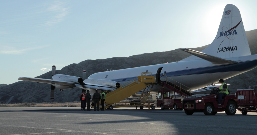
Go to this page4K B-roll of loading the P3-Orion aircraft at the Thule Air Base. Filmed during the 2019 Arctic campaign. NOTE: The audio on this clip varies widely and includes loud aircraft noise. We advise turning down/off sound when previewing this item. || 13451_P3_Loading_Canon_2019_4K.mov.00_01_14_15.Still001_print.jpg (1024x540) [256.0 KB] || 13451_P3_Loading_Canon_2019_4K.mov.00_01_14_15.Still001.jpg (4096x2160) [2.3 MB] || 13451_P3_Loading_Canon_2019_4K.mov.00_01_14_15.Still001_searchweb.png (320x180) [106.7 KB] || 13451_P3_Loading_Canon_2019_4K.mov.00_01_14_15.Still001_web.png (320x168) [100.5 KB] || 13451_P3_Loading_Canon_2019_4K.mov.00_01_14_15.Still001_thm.png (80x40) [8.0 KB] || YOUTUBE_1080_13451_P3_Loading_Canon_2019_4K_youtube_1080.mp4 (1920x1080) [73.5 MB] || 13451_P3_Loading_Canon_2019_4K.webm (960x540) [20.5 MB] || 13451_P3_Loading_Canon_2019_4K.mov (4096x2160) [4.5 GB] ||
Operations
Operation IceBridge - ATM Arctic Ground Stations
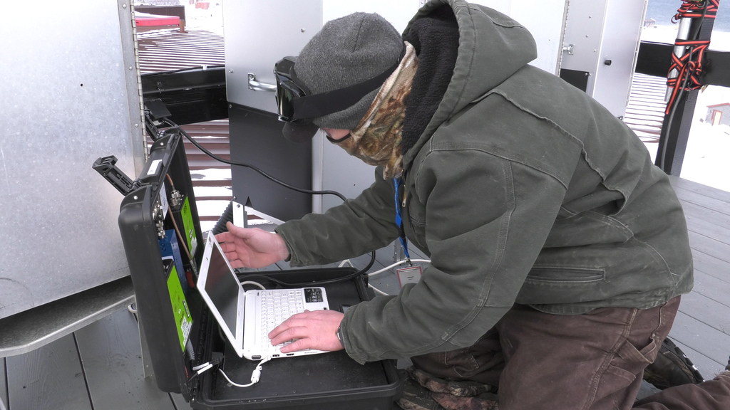
Go to this pageThe Airborne Topographic Mapper (ATM) is a scanning LIDAR developed and used by NASA for observing the Earth’s topography for several scientific applications, foremost of which is the measurement of changing Arctic and Antarctic icecaps and glaciers. It typically flies on aircraft at an altitude between 400 and 800 meters above ground level, and measures topography to an accuracy of better than 10 centimeters by incorporating measurements from GPS (global positioning system) receivers and inertial navigation system (INS) attitude sensors.The GPS ground station is an integral part of ATM operations. Having ground station data allows us to do differential GPS post processing and more accurately calculate the position of the aircraft.The ground station consists of 3 GPS receivers, an iridium notch filter, 4 port passive splitter and a netbook computer to download the data. The system has the ability to track both GPS and GLONASS constellations and is battery backed up for 24 hours of operation without power input. One of the GPS units operates at a low recording rate (logging once every 30 seconds) continually during a campaign. This data is used to calculate a resolved position for the GPS antenna. The other units record at 10hz during aircraft operations. ||
Operation IceBridge - Arctic NOAA Flights
Go to this pageIn Spring of 2016, Operation IceBridge conducted its eight spring Arctic survey of polar ice over the course of five weeks. Six research flights studying sea ice were based in Thule, Greenland, while ten that focused on land ice flew out of Kangerlussuaq in southern Greenland.For the survey, the crew utilized National Oceanic and Atmospheric Administration’s P-3 Orion Hurricane Hunter plane. NASA's Wallops Flight Facility in Virginia provided the laser altimeter and one of the infrared cameras on the P-3. IceBridge's three radar instruments came from the Center for Remote Sensing of Ice Sheets at the University of Kansas, while NASA's Ames Research Center at Moffett Field, California, provided the Digital Mapping System, and the University of Colorado loaned the second infrared camera.During this campaign the IceBridge aircraft flew under the path of Sentinel-3A, a recently launched ESA satellite that carries a radar altimeter that gauges sea ice thickness. Scientists will compare the Sentinel-3A measurements to the data IceBridge collected over the same spots with its radar and laser altimeters. This comparison will help validate and refine Sentinel-3A’s data gathering. ||
Operation Ice Bridge - Arctic Airborne Topographic Mapper
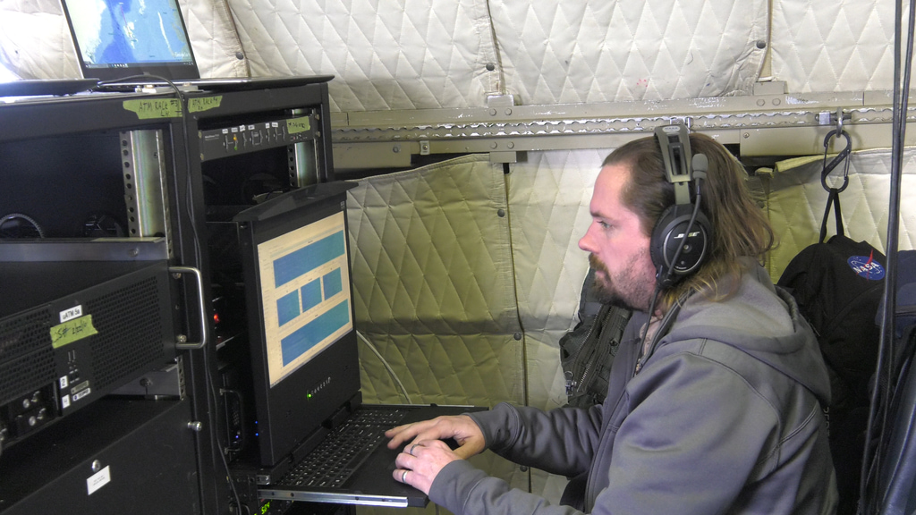
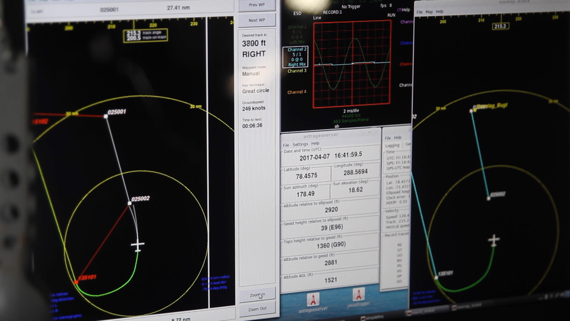
Go to this pageThe Airborne Topographic Mapper (ATM), developed at NASA Wallops Flight Facility in Wallops Island, Va., is a scanning laser altimeter that measures changes in ice surface elevation. It accomplishes this by reflecting lasers off the ice surface and measuring the time it takes light to return to the aircraft, usually flying between 1000 and 2000 feet above the ground. By combining this timing data with detailed information about the aircraft’s position and attitude from GPS and inertial navigation systems, ATM can measure topography to an accuracy of as small as four inches. By flying ATM over the same swath of ground previously covered by ICESat, researchers can maintain a record of changes.In addition, the precise data from ATM’s navigation system can be fed to pilot displays in the cockpit or even electronically sent to the automatic pilot system, keeping the aircraft aligned with the planned survey track. This keeps the aircraft along the planned ATM survey swath and also benefits the other IceBridge instruments by minimizing aircraft roll and horizontal acceleration.The ATM has been participating in NASA's Operation IceBridge since 2009. ||
Operation IceBridge - Flight Path Indicator
Go to this page4K B-roll from 2019 Arctic campaign. NOTE: The audio on this clip varies widely and includes loud aircraft noise. We advise turning down/off sound when previewing this item. || 13464_Instrument_Flight_Canon_2019_4K.mov.00_00_03_39.Still001_print.jpg (1024x540) [279.9 KB] || 13464_Instrument_Flight_Canon_2019_4K.mov.00_00_03_39.Still001.jpg (4096x2160) [2.3 MB] || 13464_Instrument_Flight_Canon_2019_4K.mov.00_00_03_39.Still001_searchweb.png (320x180) [137.3 KB] || 13464_Instrument_Flight_Canon_2019_4K.mov.00_00_03_39.Still001_web.png (320x168) [129.0 KB] || 13464_Instrument_Flight_Canon_2019_4K.mov.00_00_03_39.Still001_thm.png (80x40) [9.1 KB] || 13464_Instrument_Flight_Canon_2019_4K.webm (960x540) [7.1 MB] || YOUTUBE_1080_13464_Instrument_Flight_Canon_2019_4K_youtube_1080.mp4 (1920x1080) [23.2 MB] || 13464_Instrument_Flight_Canon_2019_4K.mov (4096x2160) [1.8 GB] ||
Operation IceBridge - Misc.
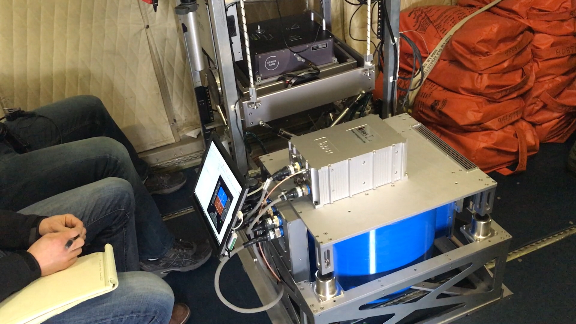
Go to this pageNASA’s Operation IceBridge images Earth’s polar ice in unprecedented detail to better understand processes that connect the polar regions with the global climate system. IceBridge utilizes a highly specialized fleet of research aircraft and the most sophisticated suite of innovative science instruments ever assembled to characterize annual changes in thickness of sea ice, glaciers, and ice sheets. In addition, IceBridge collects critical data used to predict the response of earth’s polar ice to climate change and resulting sea-level rise. IceBridge also helps bridge the gap in polar observations between NASA’s ICESat satellite missions.The below clips represent a miscellaneous collection of instruments used during the Arctic campaigns. ||
Operation IceBridge - Outreach
Go to this pageThroughout the mission, IceBridge has directly connected with over 11,000 students while flying in the Arctic and Antarctic through live classroom chats using the Mission Tools Suite for Education. ||
Operation IceBridge - Radar
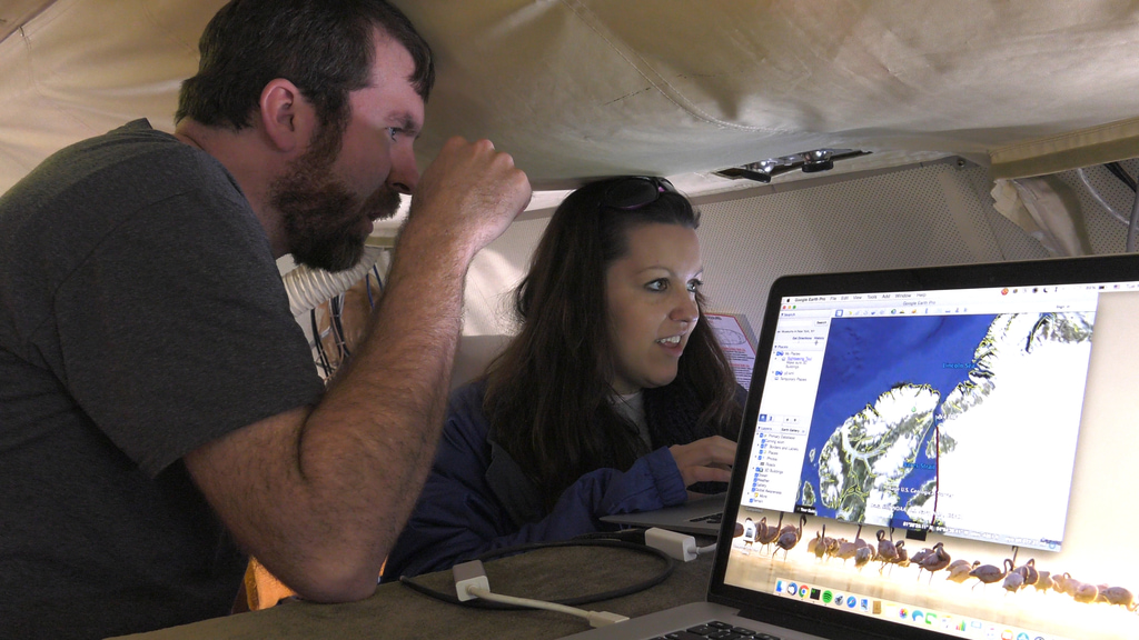
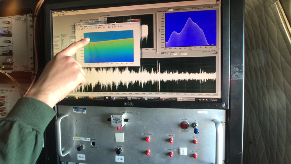
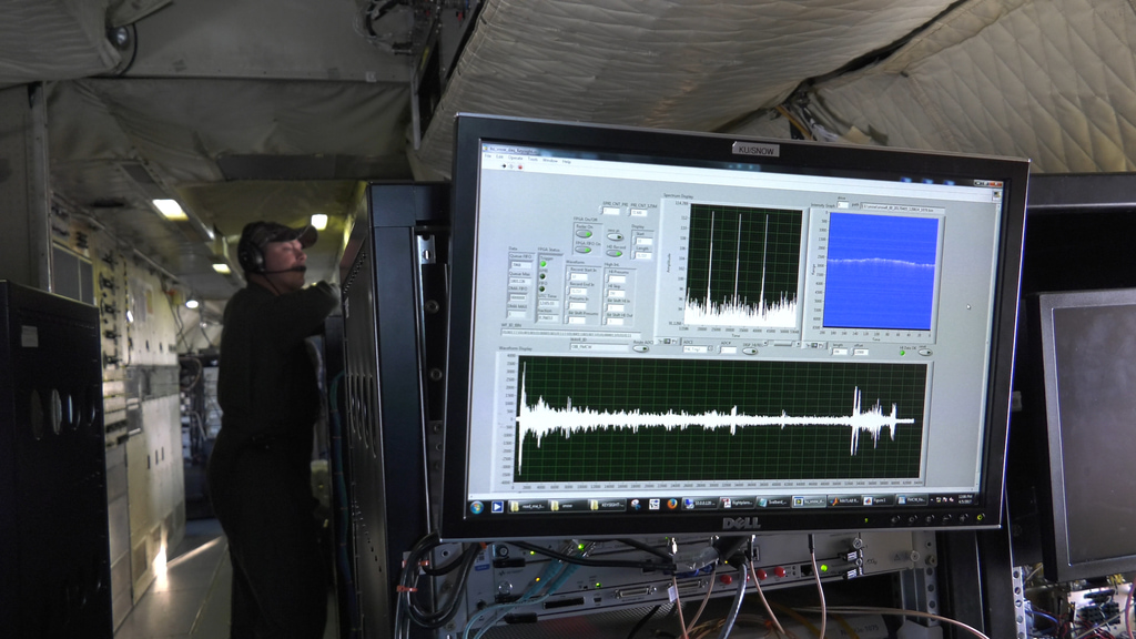
Go to this pageThe University of Kansas's Center for Remote Sensing of Ice Sheets (CReSIS) operates a variety of radar instruments on the IceBridge P-3B and DC-8 airborne laboratories. Each of these instruments uses a different frequency band, which gives them the ability to examine the entire ice column, ranging from the surface, through accumulated snow and all the way down to the bedrock below.Radar Instruments Used:Multichannel Coherent Radar Depth Sounder (MCoRDS)Snow RadarAccumulation RadarKu-Band Radar AltimeterHigh Capability Radar Sounder (HiCARS) ||
Operation IceBridge - Snow Radar
Go to this pageThe snow radar instrument measures the thickness of snow on top of sea ice, which allows researchers to make more accurate sea ice thickness measurements. Scientists can measure sea ice freeboard, or the amount above the water’s surface, and using the known ratio of ice above and below water to calculate thickness. Snow accumulation can give higher freeboard figures, skewing these results, so knowing snow accumulation is important for measuring sea ice thickness. ||
Sea Ice
Operation IceBridge - Greenland Sea Ice
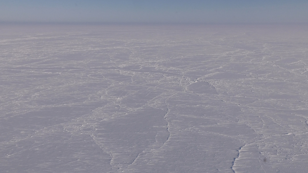
Go to this pageArctic sea ice occupies an ocean basin mostly enclosed by land. Because there is no landmass at the North Pole, sea ice extends all the way to the pole, making the ice subject to the most extreme oscillations between wintertime darkness and summertime sunlight. Likewise, because the ocean basin is surrounded by land, ice has less freedom of movement to drift into lower latitudes and melt.Arctic sea ice generally reaches its maximum extent each March and its minimum extent each September. ||
Operation IceBridge - Spring Greenland Sea Ice
Go to this pageSea ice is frozen seawater that floats on the ocean surface. It forms in both the Arctic and the Antarctic in each hemisphere’s winter; it retreats in the summer, but does not completely disappear. This floating ice has a profound influence on the polar environment, influencing ocean circulation, weather, and regional climate.The clip below shows springtime sea ice off of the coast of Greenland. ||
Operation IceBridge - Spring Svalbard Sea Ice
Go to this pageOn April 7, 2017, Operation IceBridge flew the distinct Zig Zag East mission. This flight started in the rugged fjords of Svalbard, passed over hundreds of miles of sea ice en route to the North Pole, flew through the narrow Nares Strait, and finally returned the team back to Thule Air Base in Greenland. The clip below shows dramatic sea ice encountered north of Svalbard as the mission prepard to cross the Fram Strait (the primary pathway that sea ice from the Arctic Basin gets out to warmer ocean). This type of sea ice is commonly referred to as broken pack ice. ||
Operation IceBridge - Thule Ice Sheet Scenics
Go to this pageFrozen sea ice outside of the Thule Air Base in Greenland provided project scientists a chance to get up close to locked icebergs and other features. ||
Operation IceBridge - Western Greenland Sea Ice
Go to this pageNASA’s Operation IceBridge images Earth’s polar ice in unprecedented detail to better understand processes that connect the polar regions with the global climate system. IceBridge utilizes a highly specialized fleet of research aircraft and the most sophisticated suite of innovative science instruments ever assembled to characterize annual changes in thickness of sea ice, glaciers, and ice sheets. In addition, IceBridge collects critical data used to predict the response of earth’s polar ice to climate change and resulting sea-level rise.In 2019, IceBridge was based out of Kangerlussuaq in western Greenland, surveying both sea ice and land ice. ||
Land Ice
Operation IceBridge - Greenland Glaciers
Go to this pageGreenland’s more than 200 major outlet glaciers are constantly on the move, most of them draining ice from the central ice sheet. Jakobshavn is Greenland’s fastest-moving glacier, and the flow rate is variable with spurts of speed in the summer and additional variation from year to year.When an ice tongue such as the Jakobshavn calves, the glacier feeding that ice tongue typically accelerates. Reduced friction between the intact glacier and the bedrock, and reduced buoyancy from the seawater (which partially offsets the glacier’s downhill flow) mean less resistance to glacier movement. Warming conditions in the Arctic contribute to glacier acceleration in multiple ways. Warmer conditions can send meltwater to the glacier’s base, increasing lubrication and consequently glacier speed. During the winter, the rate of iceberg calving usually slows significantly; the glacier tongue advances, and its flow speed drops. Warm winters, however, may allow iceberg calving and high flow rates to continue.Since 2000, Greenland has lost some 739 gigatons of ice, and approximately 30 percent of that loss came from Jakobshavn and four other glaciers ||
Operation IceBridge - Icebergs
Go to this pageIcebergs start as land ice—snow that has accumulated on land and, over the course of many years, has been compacted into ice. When this glacial ice flows downstream and reaches the sea, cracks in the ice are widened as warm water and air melt the ice from below and above, respectively. When these cracks become large enough, pieces break off like fingernail clippings and drift into the water as icebergs. ||
Operation IceBridge - Svalbard
Go to this pageIn its ninth year, Operation IceBridge operated three missions out of a base in Svalbard, Norway. The expanded reach across the Arctic Basin provided critical data to IceBridge's scientific mission. ||
Operation IceBridge - Greenland Melt
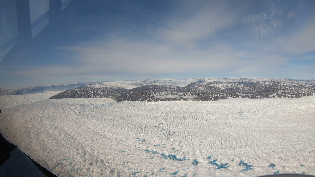
Go to this pageEach spring and summer, as the air warms up and the sunlight beats down on the Greenland ice sheet, sapphire-colored ponds spring up like swimming pools. As snow and ice melt atop the glaciers, the water flows in channels and streams and collects in depressions on the surface. The ponds provide an important indicator of how much the ice sheet is melting in a given year.Not only are melt ponds indicators of melt, but they also hint at how fast glaciers will shed ice into the sea. Melt ponds drain to the base of the ice sheet through crevasses. Flowing between the ice and the underlying bedrock, the water lubricates the bottom of the glacier, allowing it to flow more smoothly over the land surface and to shed ice more quickly at the coasts.Melting also darkens the ice sheet surface. Fresh snow is bright white; when it melts, older and darker ice is exposed. Old ice can be as much as 30 percent less reflective than the younger, brighter snow. The darker old ice absorbs more energy, which leads to more melting and further darkening of the glacial surface. ||
Operation IceBridge - Northern Greenland
Go to this page4K B-roll of snowy northern Greenland landscape filmed during the 2016 Arctic campaign. NOTE: The audio on this clip varies widely and includes loud aircraft noise. We advise turning down/off sound when previewing this item. || 13472_Panasonic_2016_Airborne_LandIce_4K.mov.00_02_19_19.Still001_print.jpg (1024x576) [262.7 KB] || 13472_Panasonic_2016_Airborne_LandIce_4K.mov.00_02_19_19.Still001.jpg (3840x2160) [2.4 MB] || 13472_Panasonic_2016_Airborne_LandIce_4K.mov.00_02_19_19.Still001_searchweb.png (320x180) [100.7 KB] || 13472_Panasonic_2016_Airborne_LandIce_4K.mov.00_02_19_19.Still001_web.png (320x180) [100.7 KB] || 13472_Panasonic_2016_Airborne_LandIce_4K.mov.00_02_19_19.Still001_thm.png (80x40) [6.4 KB] || 13472_Panasonic_2016_Airborne_LandIce_4K.webm (960x540) [103.8 MB] || YOUTUBE_1080_13472_Panasonic_2016_Airborne_LandIce_4K_youtube_1080.mp4 (1920x1080) [367.2 MB] || 13472_Panasonic_2016_Airborne_LandIce_4K.mov (3840x2160) [20.8 GB] ||
Landscape
Operation IceBridge - Thule, Greenland Landscape
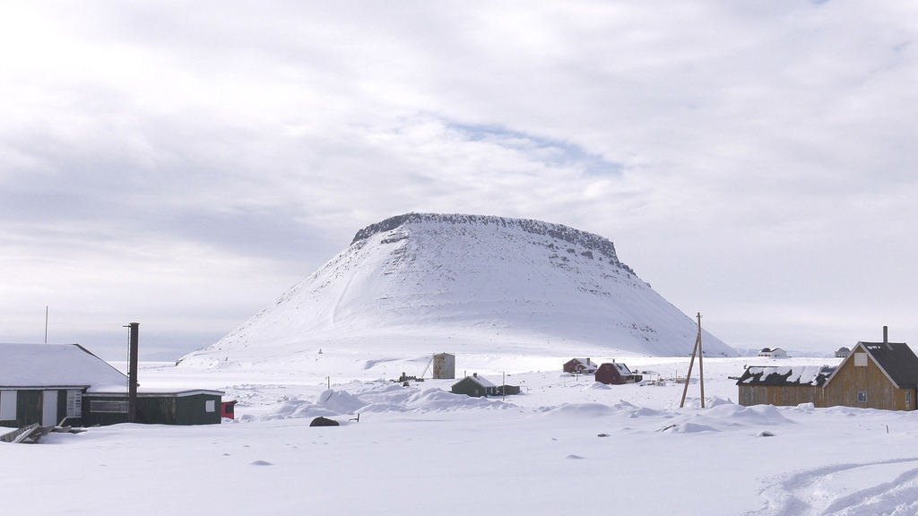
Go to this pageThule, Greenland has been one of the major hubs of Operation IceBridge since the mission began in 2009. The Thule Air Base, located 750 miles north of the Arctic circle, has been a critical hub of IceBridge Arctic flights during the course of the mission. ||
Operation IceBridge - Svalbard, Norway Landscape
Go to this pageIn 2017, IceBridge expanded its reach to explore the Arctic’s Eurasian Basin through two research flights based out of Svalbard, a Norwegian archipelago in the northern Atlantic Ocean.The addition of Svalbard allowed the mission to collect data on sea ice and snow in a scarcely measured section of the Arctic Ocean and its surrounding seas, along with measurements of a few glaciers in the Svalbard archipelago. ||
Operation IceBridge - Western Greenland
Go to this pageNASA’s Operation IceBridge images Earth’s polar ice in unprecedented detail to better understand processes that connect the polar regions with the global climate system. IceBridge utilizes a highly specialized fleet of research aircraft and the most sophisticated suite of innovative science instruments ever assembled to characterize annual changes in thickness of sea ice, glaciers, and ice sheets. In addition, IceBridge collects critical data used to predict the response of earth’s polar ice to climate change and resulting sea-level rise.In 2019, IceBridge was based out of Kangerlussuaq in western Greenland, surveying both sea ice and land ice. Flight lines include survey lines over the Jakobshavn and Kangerlussuaq glaciers, as well as surveyed several IceSat2 ground tracks in southern Greenland. The flights also revealed a startling amount of early spring melt ponds on Greenland's ice sheet. ||
