Wildland Fires Dashboard
Overview
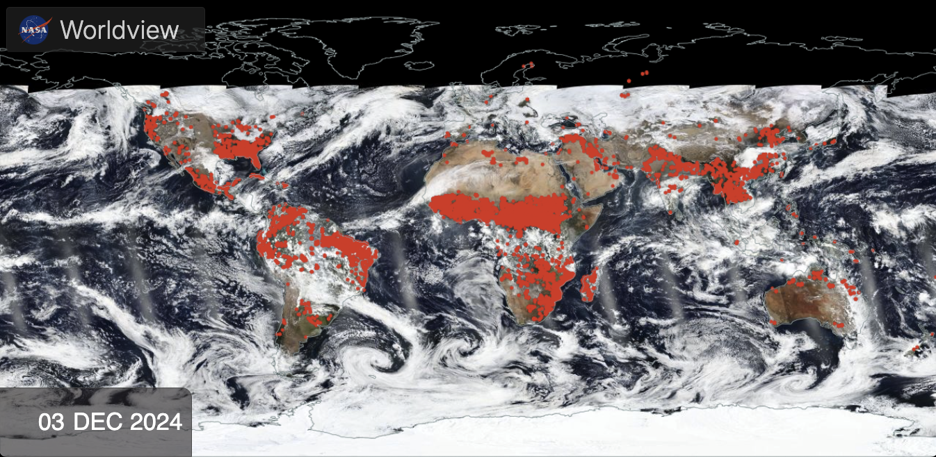
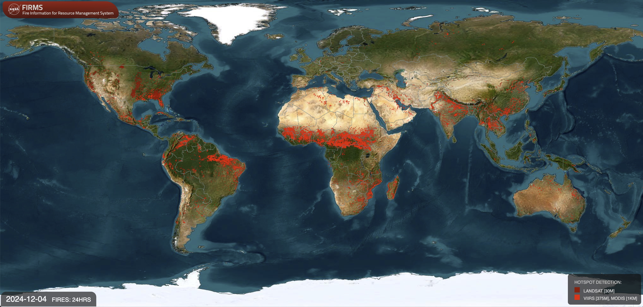
Climate change continues to cause longer fire seasons and more severe wildfires. NASA's Earth observing satellites and its robust network of interagency partners work together to help communities manage the impacts of fire, and reduce risks before, during and after fire events.

Wildland Fires: Global View
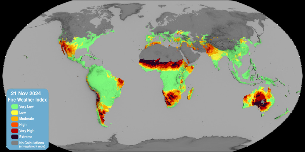
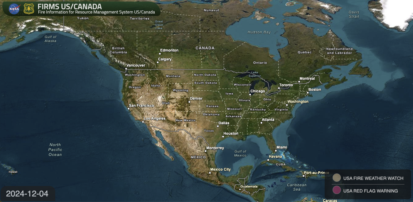
Daily Experimental Fire Weather Forecast
Go to this pageThis visualization shows the daily one-day forecast of the Fire Weather Index (FWI), a system for tracking how weather influences the chance of a wildfire starting and spreading. Fire Weather categories are similar to those for the Global Wildfire Information System. More information can be found at the NASA Goddard Institute for Space Studies, where the data are produced using weather data from the NASA Global Modeling and Assimilation Office. This visualization has been prepared for use within the Earth Information Center (EIC), and is not meant for operational use. ||
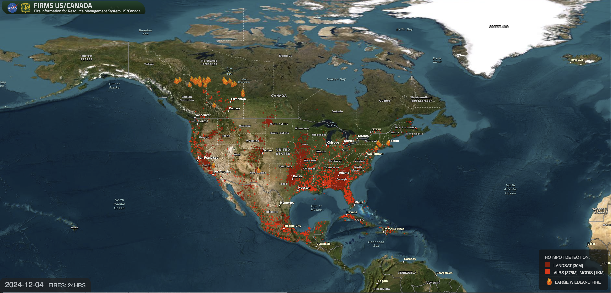
Wildland Fires: US and Canada
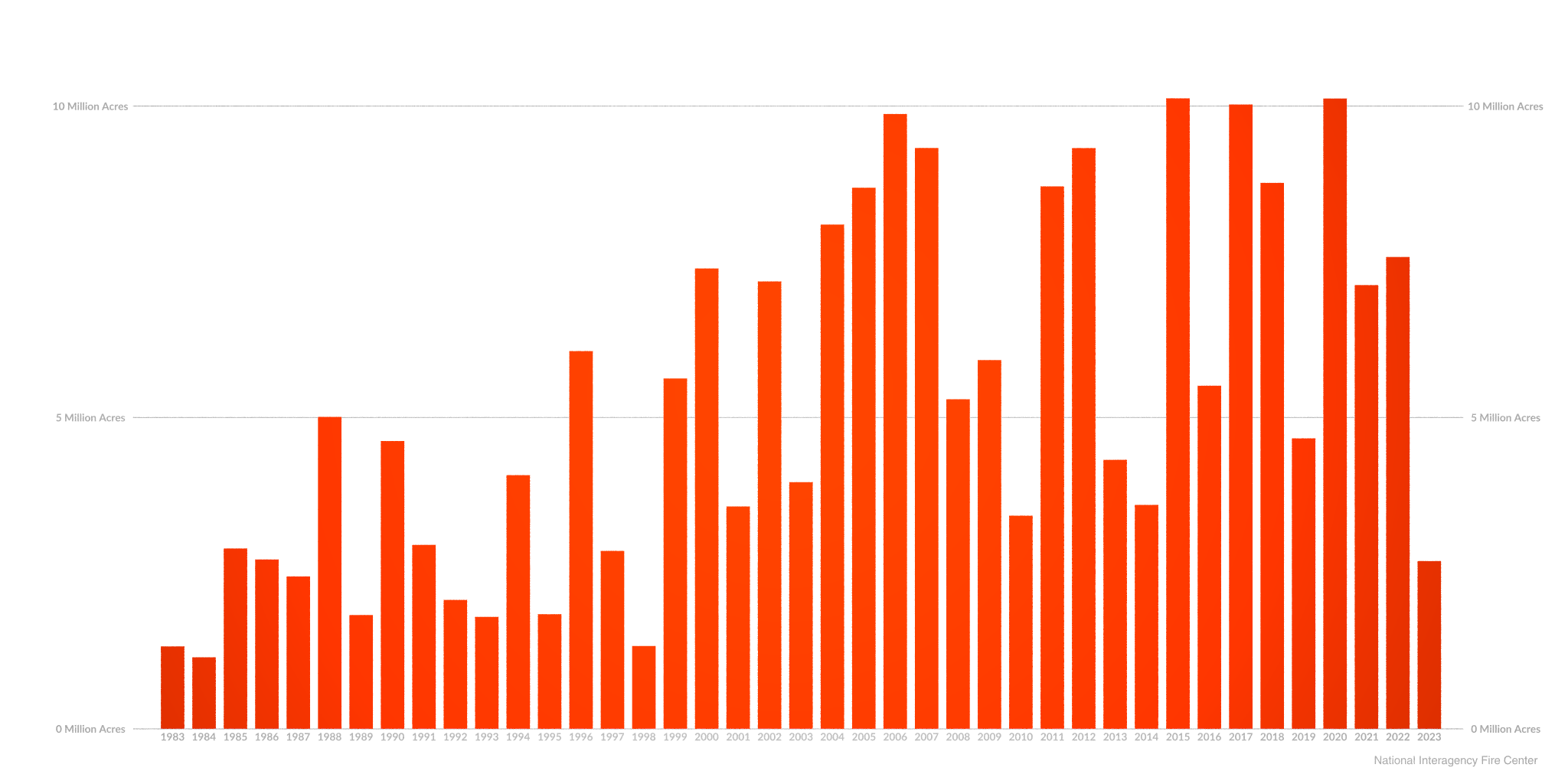
Annual Wildfire Burned Area in the United States
Go to this pageA graph of annual wildfire burned area in the United States between the years 1983 and 2023. || fireIncrease.png (2048x1024) [141.9 KB] || fireIncrease_print.jpg (1024x512) [85.7 KB] || fireIncrease_searchweb.png (320x180) [18.5 KB] || fireIncrease_thm.png [2.2 KB] ||
Side Circles
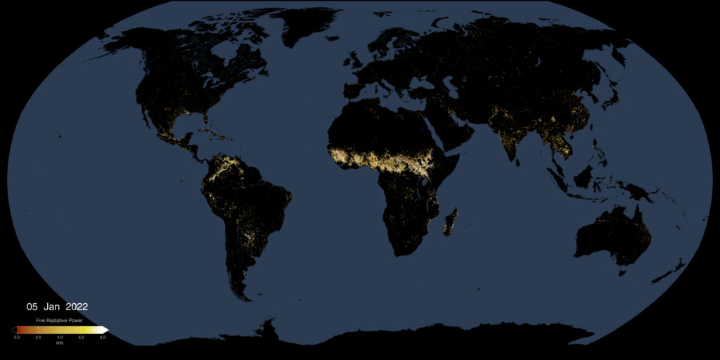
Active Fires As Observed by VIIRS, 2023-Present
Go to this pageThis animated visualization uses a moving five-day window of VIIRS measurments of fire radiative power (FRP), to present a view of fire intensities around the globe. || fires_frp_VIIRS.001_print.jpg (1024x512) [72.7 KB] || fires_frp_VIIRS.001_web.png (320x160) [138.2 KB] || fires_frp_VIIRS.001_searchweb.png (320x180) [162.3 KB] || fires_frp_VIIRS.001_thm.png (80x40) [13.2 KB] || fires_frp_VIIRS_2048p30.mp4 (4096x2048) [46.5 MB] || EIC (4096x2048) [0 Item(s)] || VIIRS_fires_latest.exr [7.0 MB] ||
