| shot |
Narration |
Visual |
| |
|
rotating earth
[Introductory title]
|
| 1 |
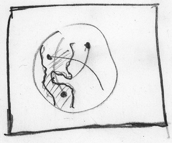
Hundreds of miles above us, a fleet of NASA spacecraft constantly scans the Earth.
|
|
| 2 |
One of these has dramatically improved our ability to study severe weather. |
 |
| 3 |
TRMM, the Tropical Rainfall Measuring Mission, observes weather systems with the world's only space based precipitation radar. |
|
| 4 |
TRMM peers down through clouds revealing their internal structure.
|

[annotation pointing to "Hurricane Bonnie"]
|
| 5 |
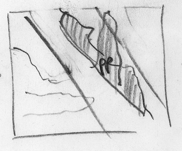
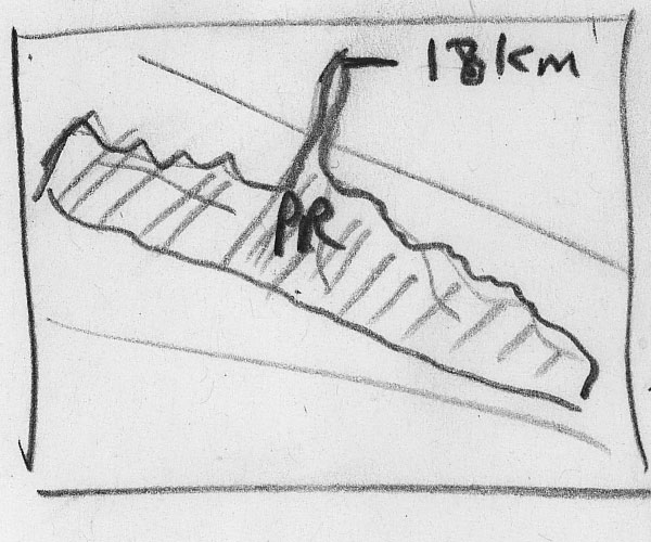
Using TRMM measurements, scientists identified a dramatic feature in the structure of Hurricane Bonnie.
|

[fade out VIRS, fade in PR]
|
| 6 |
Towering rain clouds close to the eye wall nearly reached the
stratosphere. |

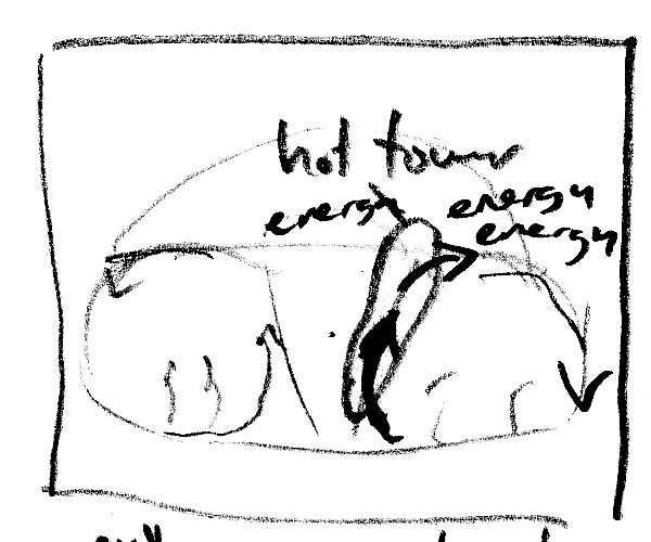
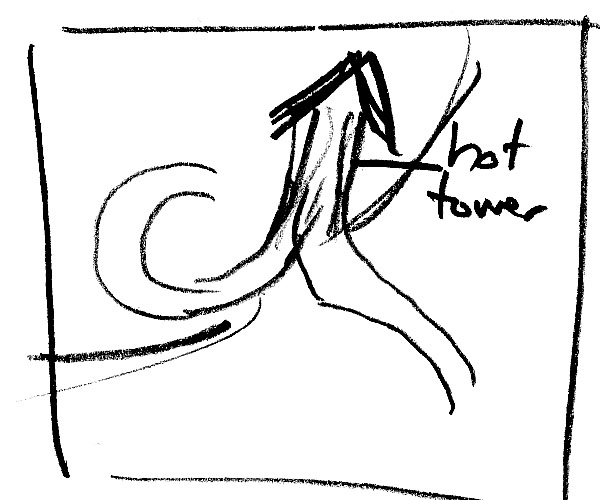
["Hot Tower" annotation]
|
| 7 |
These structures, called "hot towers", extended higher than commercial jets
fly. |
|
| 8 |
Research into these observations has lead scientists to new insights about hurricanes.
|
[keep moving around PR] |
| 9 |
Let's look at the role "hot towers" play in hurricanes. |
[keep moving around PR] |
| 10 |
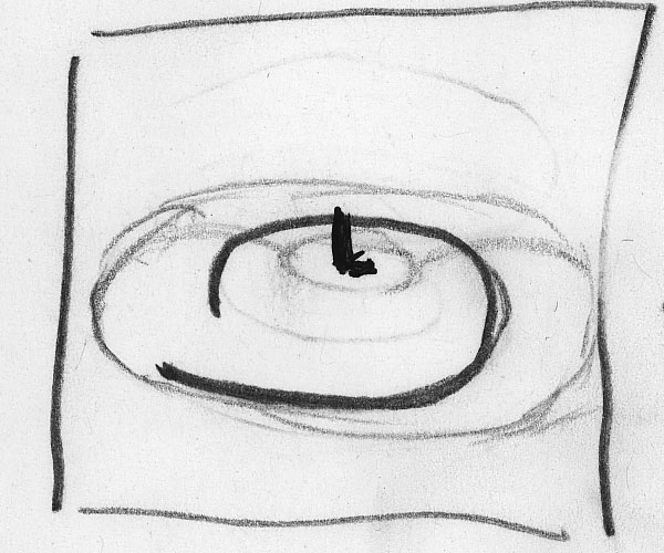
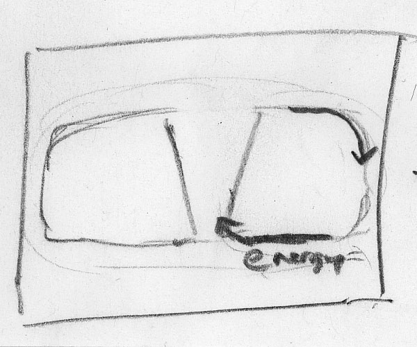
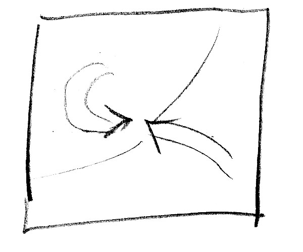
A hurricane's eye is an intense low pressure system.
|

[illustrations] |
| 11 |
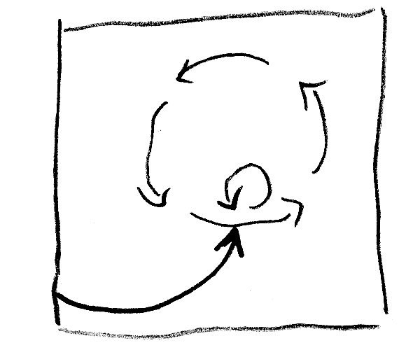
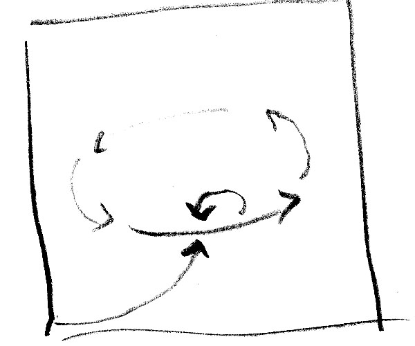
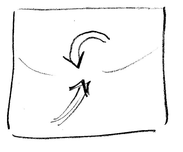
Near the ocean's surface, air spirals
inward in an attempt to fill the low pressure region. |
 |
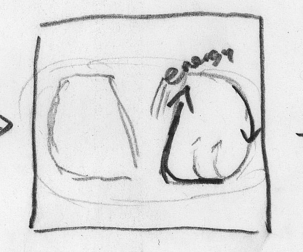
| 12 |
As air nears the eye, it rises rapidly until forced outward at the barrier formed by the warm tropopause. |
 |
| 13 |
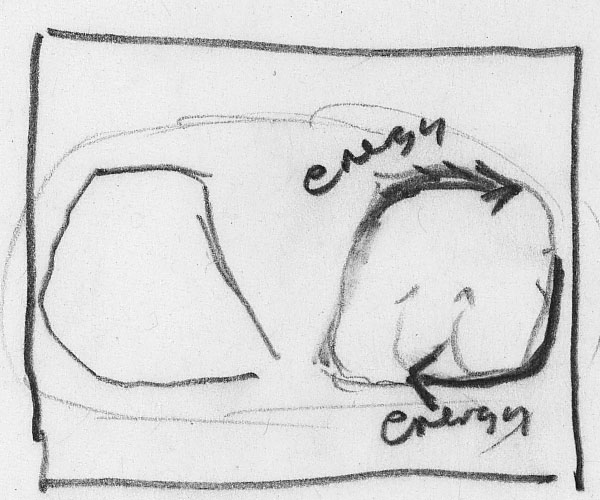
The net effect is a cycle of air moving inward near the ocean surface, upward at the eye wall, and outward at high altitudes. |

[add lines showing ocean and tropopause, maybe cloud cartoon] |
| 14 |
The air picks up energy from the warm ocean water through evaporation.
|
 |
| 15 |
This warm, moist air rises in the eye wall and releases it's energy through condensation, sustaining the hurricane.
|
 |
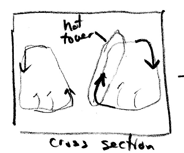
| 16 |
"Hot
towers" act like express elevators accelerating the movement of energy into high altitude clouds. |
 |
| 17 |
This energy boost tends to strengthen the hurricane.
|
 |
| 18 |
What causes these "hot towers" to form? |
|
| 19 |
There's a big
difference in wind speeds between the fierce eye wall and the
relatively calm winds inside the eye. |
[add "calm" annotation to center]
|
| 20 |
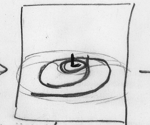
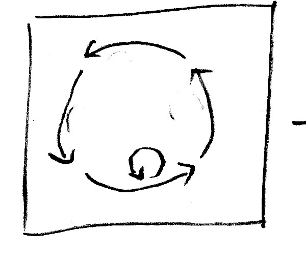
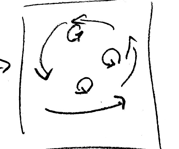
These rapid changes in wind speeds cause instabilities that can spin up intense vortices just inside the eye wall. |
|
| 21 |
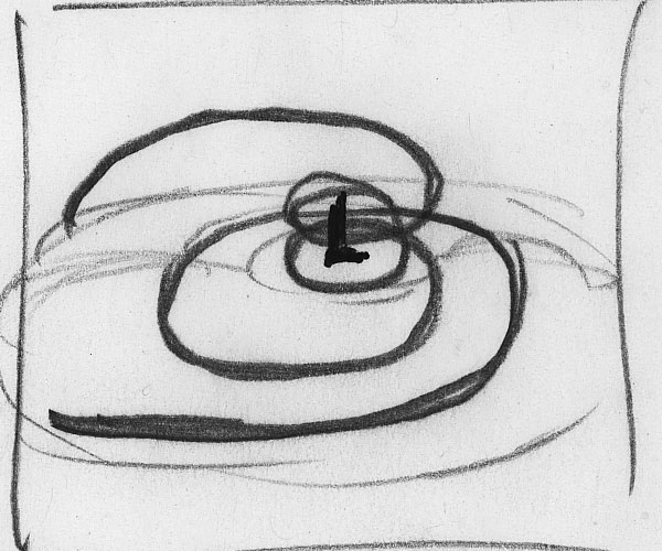
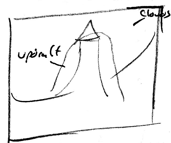
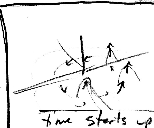
Near the surface, air spiraling inward collides with these vortices forcing the air upwards creating an updraft.
|
[freeze time]
|
| |
|
|
| 22 |
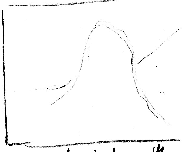
A very strong updraft in the eye wall carries moisture much higher than normal creating a "Hot Tower". |
 |
| 23 |
High resolution computer simulations of hurricanes show the formation of "Hot Towers",
|

[data fades in]
|
| 24 |
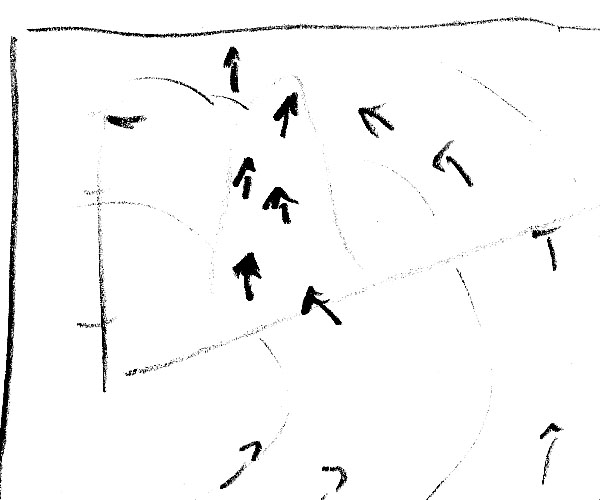
In this simulation of Hurricane Bonnie, "Hot Towers" are clearly visible. |
 |
| 25 |
The arrows show winds swirling near the surface where energy is picked up from the warm ocean. |
|
| 26 |
Some of this air moves into the hot
tower and rises rapidly, boosting the
hurricane's strength. |
|
| 27 |
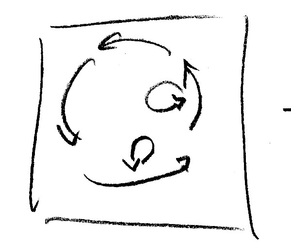
But, it's more complicated than that, because hot towers move with the hurricane; and, there are often multiple updrafts.
|

[start showing multiple time steps]
|
| 28 |
When air passes into a hot tower, it rapidly rises higher. |
|
| 29 |
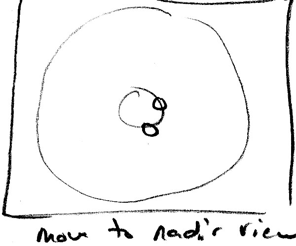
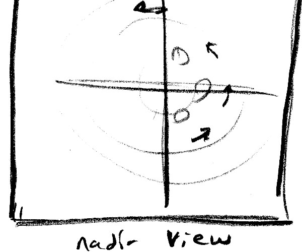
Conditions are more favorable for
vortices to form updrafts on one side of the hurricane because wind
shear amplifies colliding winds in that area. |
[ nadir at start ]

|
| 30 |
Wind shear causes these updrafts to weaken in other areas of the eye. |
|
| 31 |
Vortices can also pump high
energy air from the eye into the eye wall, boosting the strength of the
updrafts and intensifying the hurricane.
|
|
| 32 |
Scientists have confirmed a connection between hot towers and hurricane
intensification; but, forecasting intensification remains a difficult
problem. |
|
| 33 |
Combining
satellite observations with super-computer simulations
provides a powerful tool for studying Earth's complex systems. |
 |
| |
|
end credits |
