Yellowstone Burn Recovery
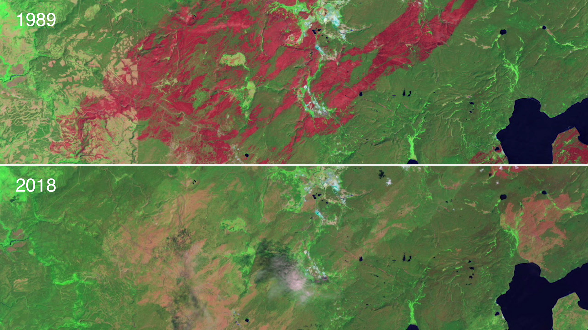
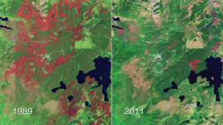
A combination of lightning, drought and human activity caused fires to scorch more than one-third of Yellowstone National Park in the summer of 1988. Within a year, burn scars cast a sharp outline on the 793,880 acres affected by fire, distinguishing wide sections of recovering forest, meadows, grasslands and wetlands from unburned areas of the park. After more than two decades, satellite instruments can still detect these scars from space.
In the time-lapse video below, a series of false-color images collected by USGS-NASA Landsat satellites from 1987 to 2018 show the burning and gradual regeneration of Yellowstone's forests following the 1988 fire season. Watch as burn scars (dark red) quickly replace large expanses of healthy green vegetation (dark green) by 1989. Notice how the scars slowly fade over time as new vegetation begins to grow and heal the landscape.
Landsat Project Scientist Jeff Masek has been studying the recovery of the forest after the 1988 Yellowstone fires. In the video below, he talks about how Landsat satellites detect the burn scars from space and distinguish them from healthy, un-burned forest and from new growth.
In this time-lapse video, a series of false-color images collected by USGS-NASA Landsat satellites from 1987 to 2018 show the burning and gradual regeneration of Yellowstone's forests following the 1988 fire season. Watch as burn scars (dark red) quickly replace large expanses of healthy green vegetation (dark green) by 1989. Notice how the scars slowly fade over time as new vegetation begins to grow and heal the landscape.
For complete transcript, click here.
Watch this video on the NASA Goddard YouTube channel.
Landsat Project Scientist Jeff Masek has been studying the recovery of the forest after the 1988 Yellowstone fires. In this video, he talks about how Landsat satellites detect the burn scars from space and distinguish them from healthy, un-burned forest and from new growth.
For complete transcript, click here.
Complete transcript available.
Credits
Please give credit for this item to:
NASA/Goddard Space Flight Center
Images used from NASA's Earth Observatory:
http://earthobservatory.nasa.gov/Features/WorldOfChange/yellowstone.php
Landsat is a joint program of NASA and USGS:
http://landsat.usgs.gov
http://www.nasa.gov/landsat
-
Video editor
- Matthew R. Radcliff (USRA)
-
Interviewee
- Jeffrey Masek (NASA/GSFC)
-
Producer
- Matthew R. Radcliff (USRA)
-
Scientist
- Jeffrey Masek (NASA/GSFC)
-
Videographer
- Matthew R. Radcliff (USRA)
Release date
This page was originally published on Monday, July 23, 2012.
This page was last updated on Monday, September 23, 2024 at 12:13 AM EDT.
Missions
This page is related to the following missions:Series
This page can be found in the following series:Tapes
The media on this page originally appeared on the following tapes:-
Yellowstone Burn Recovery
(ID: 2011117)
Monday, July 23, 2012 at 4:00AM
Produced by - Walt Feimer (HTSI)

