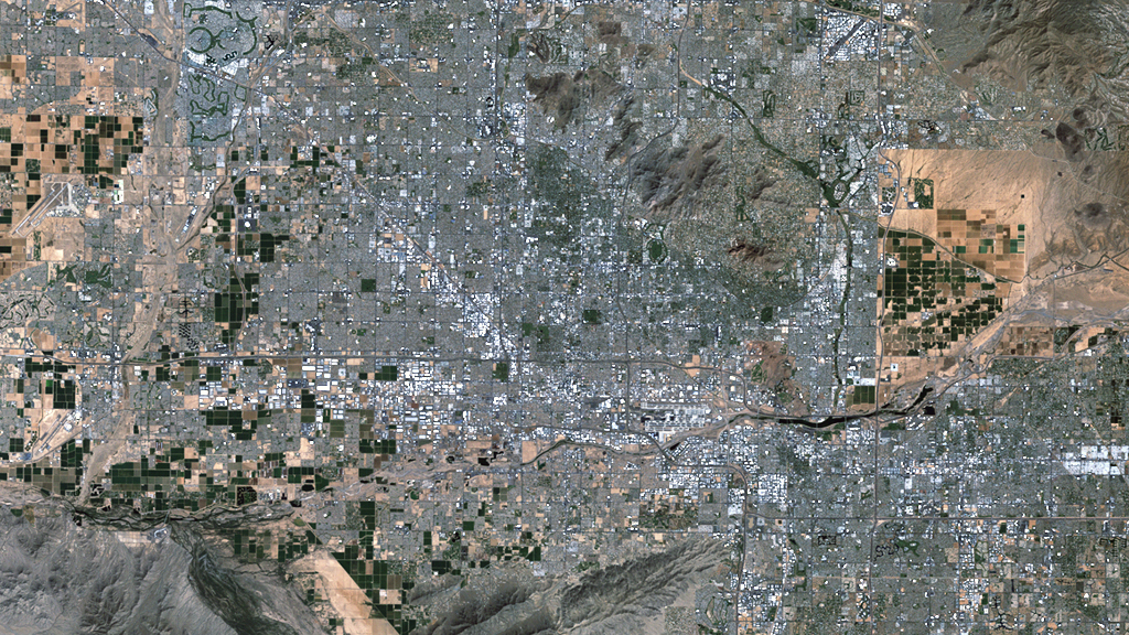
Phoenix, AZ
Arizona's capital of Phoenix and its neighboring towns in Maricopa County have undergone a major population boom in the last 40 years, and its effects are seen in everything from the expansion of town and cities and to an increased demand for fresh water.
Timelapse of Phoenix, in Maricopa County, AZ, from 1972-2011. Data from Landsat satellites. Due to the wavelengths of light recorded, healthy vegetation appears red in these images.

Map of the impervious surface area in the Phoenix region, based on Landsat data from 1972.

Map of the impervious surface area in the Phoenix region, based on Landsat data from 2011.
Credits
Please give credit for this item to:
NASA/Goddard Space Flight Center
Landsat is a joint program of NASA and USGS:
http://landsat.usgs.gov
http://www.nasa.gov/landsat
-
Producer
- Matthew R. Radcliff (USRA)
Release date
This page was originally published on Monday, July 23, 2012.
This page was last updated on Thursday, October 10, 2024 at 12:16 AM EDT.
