Landsat 40th Liveshot Roll-in Video
On Friday, July 20th, in advance of Landsat's 40th birthday and a live NASA press conference on Monday the 23rd, NASA scientists are available to discuss amazing & unprecedented images from space of your region. Cities grow, wildfires rage, rivers flood out of their beds and droughts shrink lakes and reservoirs — all captured by Landsat, the world's longest continuous record of Earth from space.
Since 1972, Landsat satellites have been orbiting Earth, telling the story of soil moisture, urban spread, land use, assist disasters & recovery. Next year, the 8th Landsat satellite (LDCM) will be launched from California. The Landsat Data Continuity Mission (LDCM) will track food production and water resources, organize disaster recovery and monitor the impact of climate change.
The following is broadcast quality video roll-ins in Apple ProRes 422, 1280x720, 59.94 fps.
Interview of Jim Irons — LDCM Project Scientist — NASA Goddard Space Flight Center
For complete transcript, click here.
Landsat
Beauty
Drought
Farming
Fires
Flooding
Forests
Glaciers
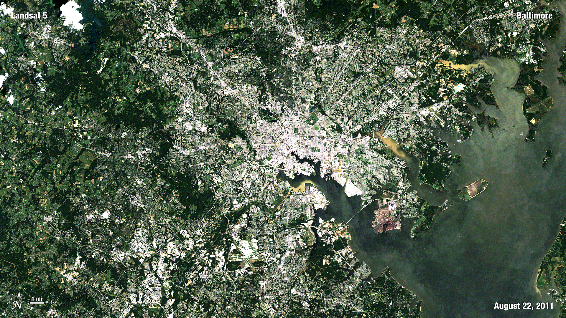
Sprawl
Future of Landsat
Credits
Please give credit for this item to:
NASA/Goddard Space Flight Center
-
Producer
- Matthew R. Radcliff (USRA)
-
Project support
- Ryan Fitzgibbons (USRA)
Release date
This page was originally published on Wednesday, July 18, 2012.
This page was last updated on Wednesday, May 3, 2023 at 1:52 PM EDT.
Missions
This page is related to the following missions:Series
This page can be found in the following series:Tapes
The media on this page originally appeared on the following tapes:-
Landsat 40th Anniversary
(ID: 2012081)
Monday, July 23, 2012 at 4:00AM
Produced by - Walt Feimer (HTSI)
