A newer version of this visualization is available.
AMSR-E Sea Ice

Montage of September sea ice minimum in the Arctic Ocean from 2003 to 2011.
Montage of September sea ice minimum in the Arctic Ocean from 2002 through 2010.
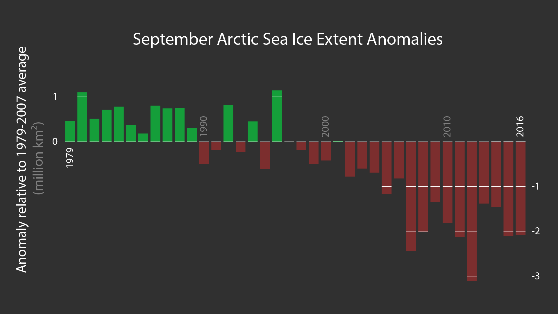
Montage of September sea ice minimum in the Arctic Ocean from 2003 through 2010, plus a graph of the sea ice extent.
Credits
Please give credit for this item to:
NASA/Goddard Space Flight Center
-
Project support
- Eric Sokolowsky (Global Science and Technology, Inc.)
-
Visualizer
Release date
This page was originally published on Tuesday, July 17, 2012.
This page was last updated on Thursday, October 10, 2024 at 12:17 AM EDT.
Missions
This page is related to the following missions:Datasets used
-
Sea Ice Concentration (Level 3 12.5 km Sea Ice Concentration) [Aqua: AMSR-E]
ID: 608
Note: While we identify the data sets used on this page, we do not store any further details, nor the data sets themselves on our site.
Newer Versions
- ID: 30768
 Hyperwall Visual