Landsat 8 Long Swath
After two months of on-orbit testing and calibration, Landsat 8 (previously called LDCM) fired its propulsion system on April 12, 2013, and ascended to its final orbit 438 miles (705 km) above Earth. The animation, made from scenes taken a week later on April 19, allows viewers to fly with the satellite from its final operating orbit. 56 continuous Landsat scenes from that orbit have been stitched together into a seamless view from Russia to South Africa. Orbiting at 16,800 mph (27,000 kph), Landsat 8 made this flight in just more than 20 minutes. The animation moves faster, covering 5,665 miles (9,117 kilometers) in nearly 16 minutes. You would have to be moving about 21,930 mph (35,290 kph) to get a similar view — only slightly slower than the Apollo astronauts who entered Earth's orbit from the moon at 25,000 mph (40,200 kph).
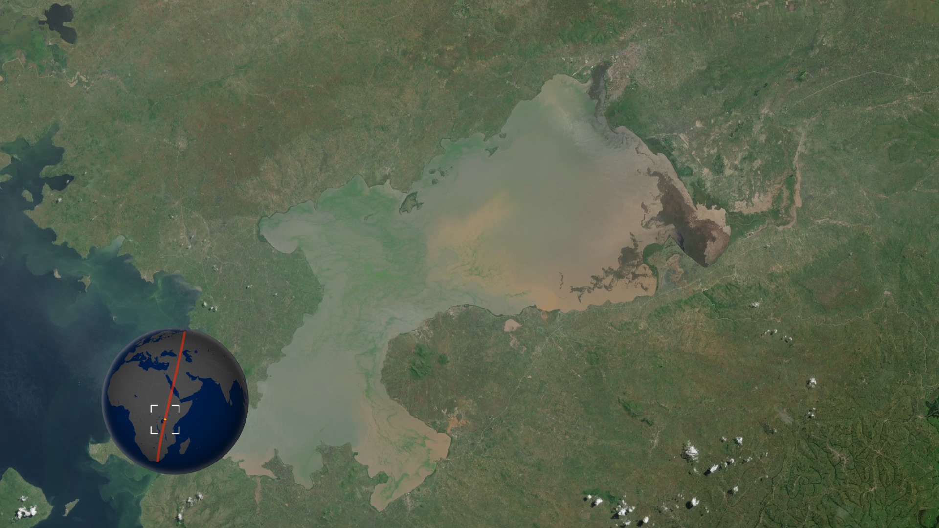
We pan down the long swath of data from Landsat 8, starting in northern Russia, passing over the Caucasus Mountains, the Republic of Georgia, Armenia, Turkey (passing Lake Van), Iraq, and Saudi Arabia (the cities of Medina and Jeddah), crossing the Red Sea into Eritrea, Ethiopia, the Kenya-Uganda border and catching the eastern edge of Lake Victoria, Tanzania, Zimbabwe, a little bit of Mozambique, and ending in northern South Africa.
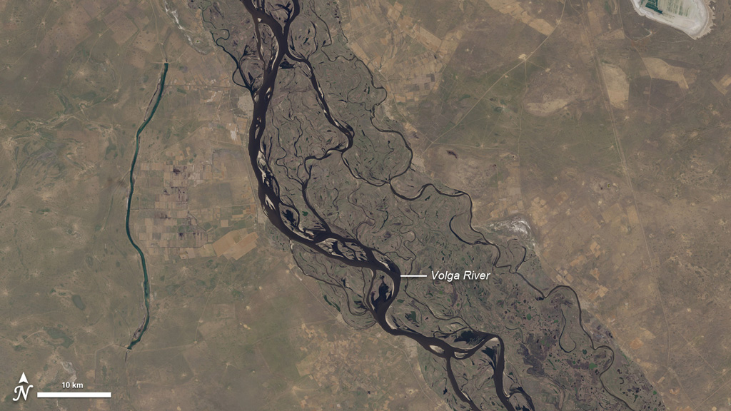
Highlights of animation of Landsat data collected in one continuous pass over Europe, the Middle East, and Africa, on April 19, 2013. The selections in this video feature the Volga River in Russia, the Tigris and Euphrates Rivers in Iraq, the cities of Medina and Jeddah in Saudi Arabia, Mt. Elgon and Lake Victoria in Uganda and Kenya, and the Great Dyke of Zimbabwe. The data was collected by the Landsat Data Continuity Mission observatory, also known as Landsat 8.
For complete transcript, click here.
Watch this video on the NASA Goddard YouTube channel.
The Kenyan side of Lake Victoria and Mt. Elgon in Uganda are featured in this short clip of full resolution Landsat data from April 19, 2013.
Medina and Jeddah, Saudi Arabia, as seen by the Landsat Data Continuity Mission on April 19, 2013. The full-resolution data in this animation shows the volcanoes in Harrat Khaybar lava field, the city of Medina, and then follows the Red Sea coastline down to the city of Jeddah.
Ice on the Volga River is readily apparent in this animation of full-resolution Landsat data, collected on April 19, 2013, by the Landsat Data Continuity Mission. The rectangular pattern of the surrounding landscape reveals the presence of farm fields.
The "director's cut."
Landsat collects data down to 30 meters per pixel, covering an area 185 kilometers wide. It takes about 100 minutes to circle the globe. This video shows one very long collection, from northern Russia down to South Africa; a total of 5,665 miles brought to you in less than 16 minutes. This data was collected on April 19, 2013, by the Landsat Data Continuity Mission (LDCM).
Watch this video on the NASA Goddard YouTube channel.
For More Information
Credits
Please give credit for this item to:
NASA's Goddard Space Flight Center and NASA's Earth Observatory
-
Animators
- Jesse Allen (Sigma Space Corporation)
- Robert Simmon (Sigma Space Corporation)
- Alex Kekesi (Global Science and Technology, Inc.)
-
Video editor
- Matthew R. Radcliff (USRA)
-
Producer
- Matthew R. Radcliff (USRA)
-
Scientist
- James R. Irons (NASA/GSFC)
-
Writers
- Holli Riebeek (Sigma Space Corporation)
- Mike Carlowicz (Sigma Space Corporation)
Release date
This page was originally published on Wednesday, May 15, 2013.
This page was last updated on Monday, July 15, 2024 at 12:11 AM EDT.
Missions
This page is related to the following missions:Series
This page can be found in the following series:Tapes
The media on this page originally appeared on the following tapes:-
LDCM Long Swath
(ID: 2013049)
Wednesday, May 15, 2013 at 4:00AM
Produced by - Walt Feimer (HTSI)

