Stormy Coasts
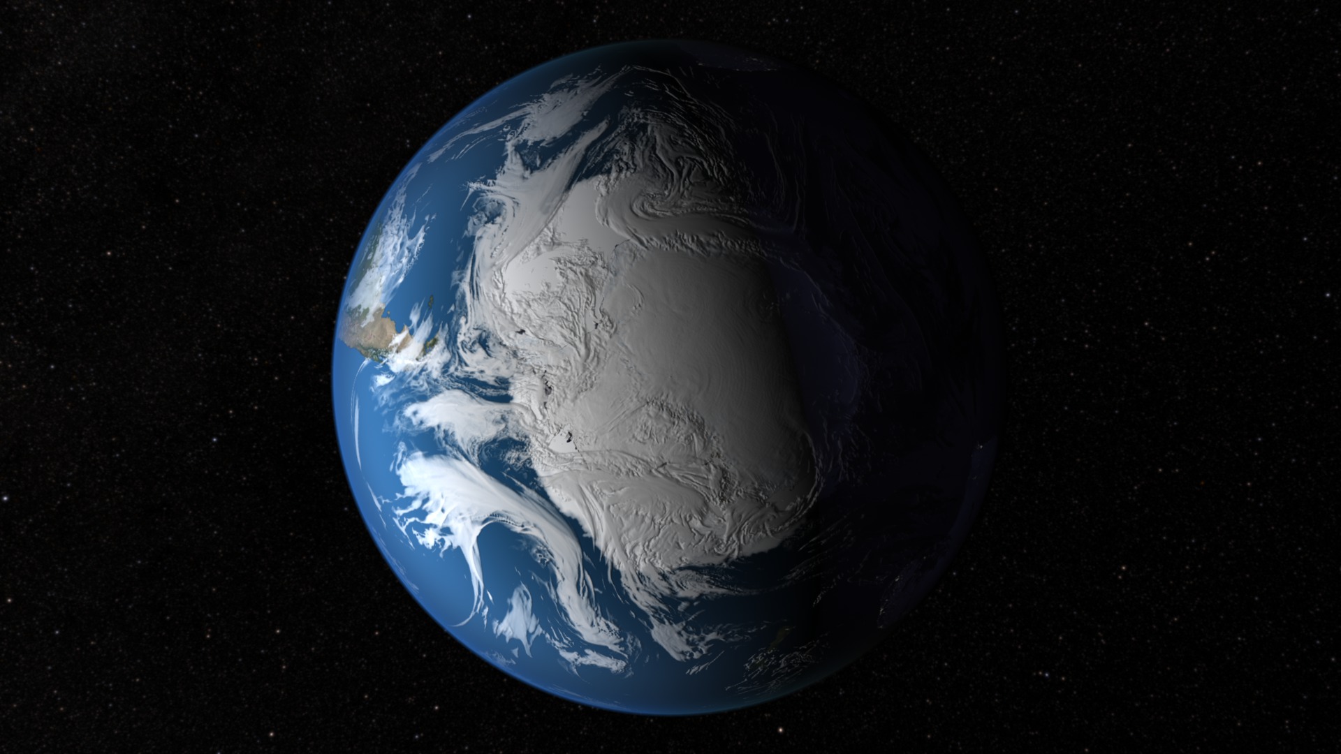
Antarctica is a hot spot for stormy weather. The constant mixing of warm and cold air happening above ocean waters miles from its shores generates fierce storms that circle the ice-covered continent. But you’d be hard-pressed to find a storm drifting over the South Pole. Storms are restricted to the coasts due to the extreme cold and high elevation of Antarctica’s interior, which blocks storms from penetrating inland. As a result, the center of the ice sheet is a large polar desert that receives less than 0.2 inches of precipitation per year. Watch the video to see a NASA supercomputer climate model simulation that shows the movement of clouds and storm systems around Antarctica.

At the bottom of Earth, storms sweep around Antarctica.
This simulation shows 11 days of cloud movement during February 2010.

Antarctic storms gather in the Ross Sea and Weddell Sea.

Features of Antarctica's ice sheet, including its elevated interior, are made visible in this composite radar image.

Clouds mask the edges of Antarctica in this mosaic created from images taken by NASA’s Terra satellite.
Credits
Please give credit for this item to:
NASA's Goddard Space Flight Center
Continent map courtesy of NASA/USGS/NSF/BAS
Radar image courtesy of NASA/Canadian Space Agency/Ohio State University
Satellite image courtesy of NASA/GSFC/MODIS Land Rapid Response Team/Jeff Schmaltz
-
Animators
- Alex Kekesi (Global Science and Technology, Inc.)
- Ernie Wright (USRA)
-
Producer
- Ryan Fitzgibbons (USRA)
-
Scientist
- William Putman (NASA/GSFC)
-
Writer
- Maria-Jose Vinas Garcia (Telophase)
Release date
This page was originally published on Tuesday, December 3, 2013.
This page was last updated on Wednesday, May 3, 2023 at 1:51 PM EDT.
