Earth From Space

See some of the best views of our home planet from 2014.
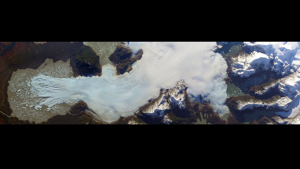
The view of Earth from orbit is never the same—from minute to minute, day to day, year to year. Today, NASA has a fleet of 18 Earth-observing satellite missions—including three new satellites and two instrument missions launched in the past year—that keep a close eye on our planet. Together they have revolutionized our ability to observe the world from space. At a time when our planet is undergoing critically important changes, these satellites and instruments offer not only stunning imagery but also provide vitally important information about how Earth is changing. Watch the video to see a compilation of Earth views released by NASA in 2014.
Explore satellite images, data visualizations, animations and time-lapse views of Earth taken from the International Space Station in this video.

View of precipitation over the Pacific Ocean from Typhoon Hagupit.

Satellite image of river flows in the Amazon Basin.

Satellite image of agricultural land near the U.S.-Mexico border.
Credits
Please give credit for this item to:
NASA's Goddard Space Flight Center
-
Producer
- Jefferson Beck (USRA)
-
Writer
- Patrick Lynch (Wyle Information Systems)
Release date
This page was originally published on Tuesday, April 21, 2015.
This page was last updated on Wednesday, May 3, 2023 at 1:49 PM EDT.
