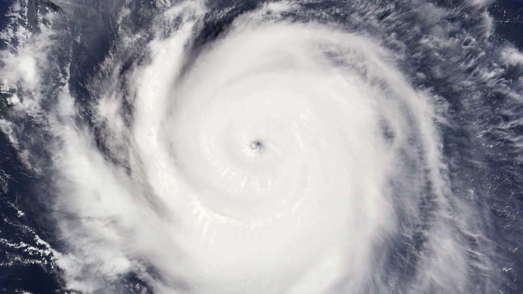
NASA On Air: NASA's Hurricane Modeling Advancements Since Katrina, 10 Years Ago (8/21/2015)
LEAD: Science and computer advances over the past ten years since Katrina are giving meteorologists clearer pictures of hurricanes.
1. A NASA weather and climate model now (2015) has a resolution of 4 miles, and updates the dynamic state of the atmosphere every 5 seconds and physical processes every 5 minutes.
2. Katrina's wind speed is shown on the left, water vapor on the right.
3. Abundant water vapor was one factor that helped to intensify Katrina to a Category 5 storm, with sustained wind speeds of 175 mph.
4. But, 18 hours later Katrina made landfall over Louisiana as a Category 3 storm, with winds of 125 mph.
TAG: Detailed computer models will help meteorologists understand these quick wind changes and make better forecasts about hurricane strength at landfall.
For More Information
Credits
Please give credit for this item to:
NASA's Goddard Space Flight Center
-
Producer
- Howard Joe Witte (ADNET Systems, Inc.)
-
Video editor
- Sophia Roberts (USRA)
Release date
This page was originally published on Friday, August 21, 2015.
This page was last updated on Wednesday, May 3, 2023 at 1:49 PM EDT.
