Earth Time-lapse

See 62 days on our planet go by in 60 seconds.
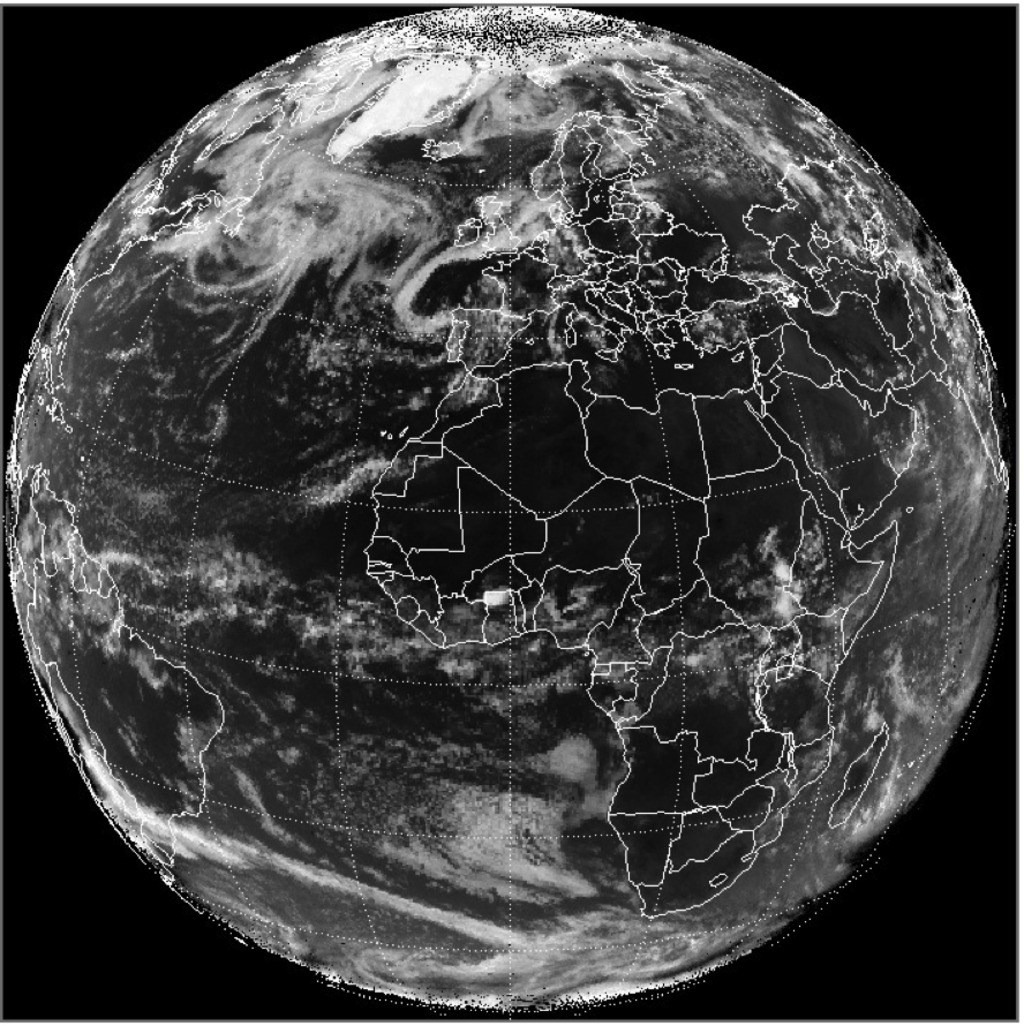
From a dusty atmosphere stretching across the Atlantic Ocean to daily views of clouds at sunrise, a NASA camera keeping a steady eye on the sunlit side of Earth is yielding new insights about our changing planet. The EPIC camera is stationed in space one million miles away, affixed to NOAA’s DSCOVR satellite. DSCOVR was launched on February 11, 2015, and, after a four-month journey, reached its orbit around the first Lagrange point, where the matching pull of gravity from the sun and Earth allows the satellite to stay relatively stable between the two bodies. From this distant outpost, EPIC captures a color image of the sunlit side of Earth at least once every two hours, allowing researchers to track features as the planet rotates in the instrument’s field of view. EPIC also collects measurements in ultraviolet and near-infrared wavelengths that help scientists study various aspects of Earth and its atmosphere. Watch the video to see a time-lapse of Earth created from images taken by EPIC.
This time-lapse video is assembled from more than 600 images taken by NASA's EPIC camera between Nov. 4, 2015, and Jan. 4, 2016.

Although EPIC is normally trained on Earth, during camera tests scientists focused on the moon—and caught an eclipse as Earth passed in front.

More than a pretty picture: EPIC provides data on Earth’s surface and atmosphere by imaging the planet in wavelengths that our eyes can't see.

A day in the life of Earth, as seen from a million miles away through the lens of EPIC.
For More Information
See NASA.gov
Credits
Please give credit for this item to:
NASA's Goddard Space Flight Center
-
Writer
- Kate Ramsayer (Telophase)
-
Producer
- Kayvon Sharghi (USRA)
-
Project support
- Joycelyn Thomson Jones (NASA/GSFC)
Release date
This page was originally published on Thursday, January 7, 2016.
This page was last updated on Wednesday, May 3, 2023 at 1:48 PM EDT.
