Hurricane Matthew Live Shots
B-roll that cooresponds with the live shots
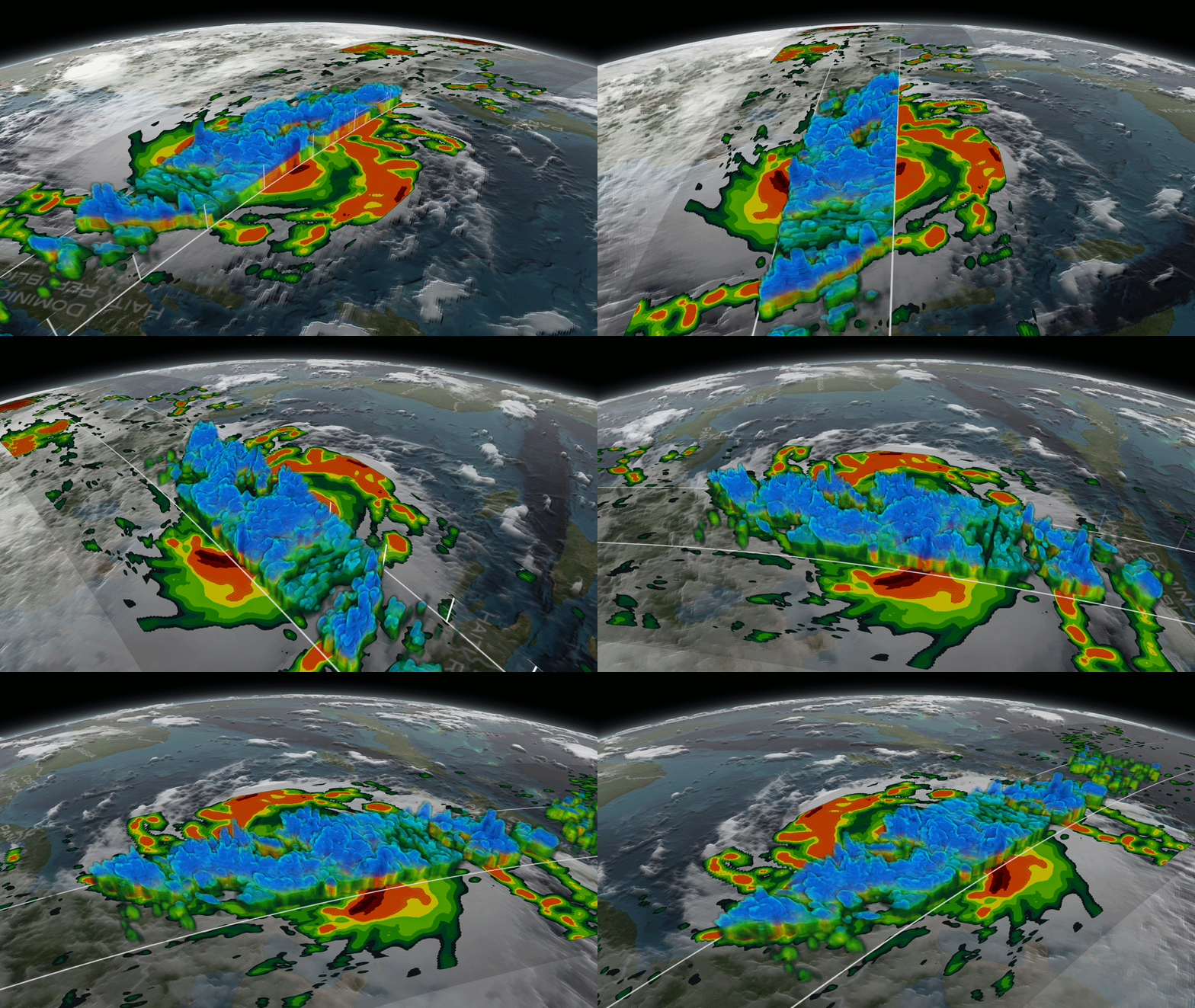
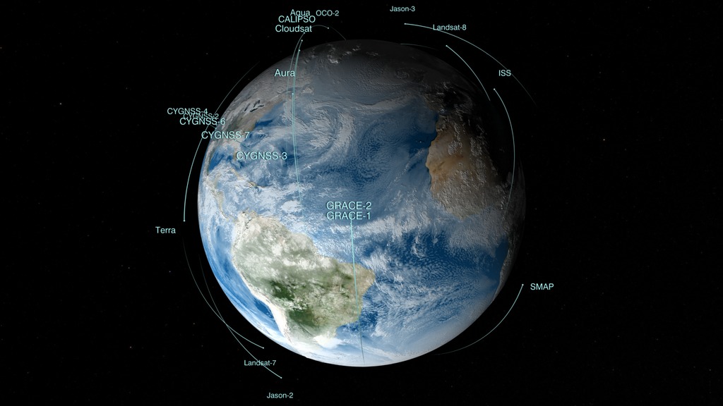
Residents along the East Coast are bracing for heavy rains and flooding as Hurricane Matthew barrels toward the U.S. Matthew is the most powerful hurricane to form over the Atlantic since Hurricane Felix in 2007 as it reached Category 5 strength on Oct. 1. NASA is tracking this storm with its powerful arsenal of satellites.
NASA scientists are available on Friday, Oct. 7 from 6:00 a.m. – 11:30 a.m. EDT to take your viewers inside and outside of Hurricane Matthew with new images of the storm. Find out how NASA is helping to uncover the mysteries of how these storms develop and intensify.
Using NASA’s Global Precipitation Measurement (GPM) mission’s international network of satellites, scientists can observe hurricanes from their birthplace; watch as they travel across the Atlantic Ocean; and see where it really counts – landfall. Scientists can observe a storm’s progress and see what is happening INSIDE the system where a slight change dictates whether a storm will make history or fizzle out.
*** This interview will focus on the science behind this hurricane and hurricane research. Questions about the latest forecast should be directed to NOAA's National Hurricane Center at http://www.nhc.noaa.gov.***<.b>
**** To Book a Window ***
Contact Michelle Handleman – michelle.z.handleman@nasa.gov / (301) 286-0918 office
HD Satellite Coordinates for AMC9-K11 AB: AMC-9 Ku-band Xp 11 Slot AB| 83.0 ° W Longitude | DL 11911.0 MHz | Horizontal Polarity | QPSK/DVB-S | FEC 3/4 | SR 13.235 Mbps | DR 18.2954 MHz | HD 720p | Format MPEG2 | Chroma Level 4:2:0 | Audio Embedded
Suggested questions:
1. Hurricane Matthew is the strongest hurricane to develop in the Atlantic in almost 10 years. How are scientists using satellites to look inside of Matthew?
2. This has been a slow moving, but rapidly intensifying storm. How can images like this give us clues as to when a storm is about to intensify?
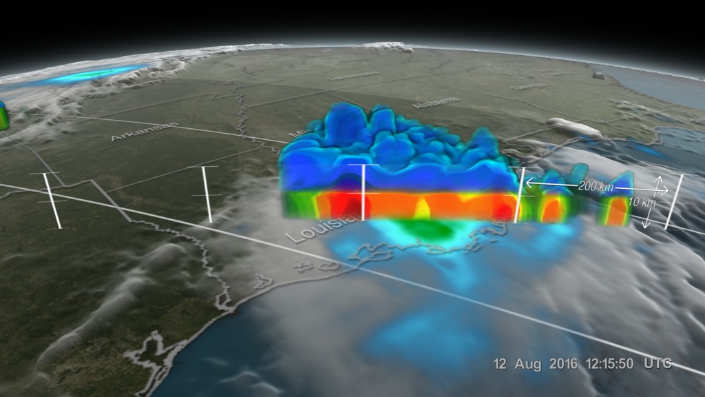
3. Matthew produced torrential rains in the Caribbean and could produce significant rains along in coastal states in the U.S. Can we see how this rainfall is accumulating from space?
4. What is the future of how NASA will monitor hurricanes?
5. Where can we learn more?
Live shot details:
Location: Goddard Space Flight Center/ Greenbelt, MD Scientists:
Dr. Dalia Kirschbaum/ NASA Scientist
Dr. Scott Braun/ NASA Scientist
Dr. Owen Kelley / NASA Scientist
NASA Scientist Dr. Dalia Kirschbaum does a short social media spot. Text is included
Canned interview with Dr. Scott Braun for Hurricane Matthew
Hurricane Matthew soundbites from Dr. Scott Braun. TRT 3:03
Soundbites from Dr. Dalia Kirschbaum. TRT 2:38
Canned interview with Dr. Dalia Kirschbaum for Hurricane Matthew
Soundbites with Dr. Dalia Kirschbaum looking off camera. TRT 7:11. Includes question slates in between soundbites
For More Information
See nhc.noaa.gov
Credits
Please give credit for this item to:
NASA's Goddard Space Flight Center
-
Producer
- Michelle Handleman (USRA)
-
Editor
- Stuart A. Snodgrass (HTSI)
Release date
This page was originally published on Thursday, October 6, 2016.
This page was last updated on Wednesday, May 3, 2023 at 1:48 PM EDT.


