Our Living Planet From Space
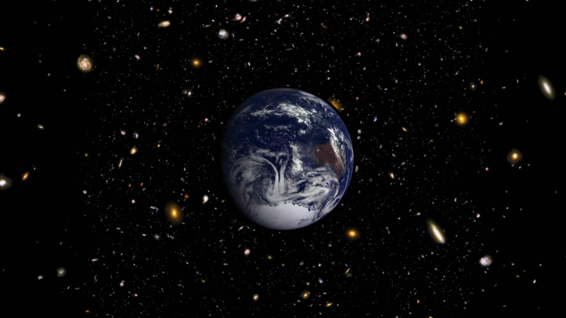
Life. It's the one thing that, so far, makes Earth unique among the thousands of other planets we've discovered. Since the fall of 1997, NASA satellites have continuously and globally observed all plant life at the surface of the land and ocean. Earth is still the only planet we know of with life - with that in mind, our habitable home world seems evermore fragile and beautiful when considering the vastness of unlivable space.
Music: Out of Hours by Sound Pocket Music; Watching Ladybirds by Benjamin James Parsons; Marimba Rhythms by Hamilton Winch
Complete transcript available.

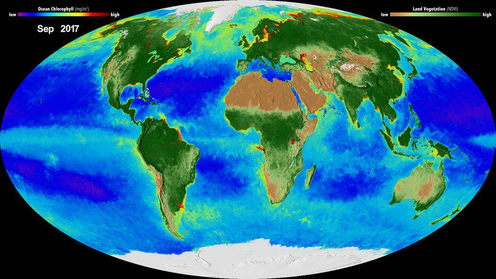
On land, vegetation appears on a scale from brown (low vegetation) to dark green (lots of vegetation); at the ocean surface, phytoplankton are indicated on a scale from purple (low) to yellow (high). This visualization was created with data from satellites including SeaWiFS, and instruments including the NASA/NOAA Visible Infrared Imaging Radiometer Suite and the Moderate Resolution Imaging Spectroradiometer.

This satellite data lets scientists watch Earth breathe and improves our understanding of our home planet. Someday, this same satellite technology could help in the search for life on other planets.

The SeaWiFS satellite was launched in late 1997, just in time to capture the phytoplankton that bloomed in the Eastern Equatorial Pacific as conditions changed from El Niño to La Niña, seen here in yellow.

Vegetation in North America wakes up in the spring, captured here as a change from pale green to dark green as photosynthesis ramps up with the season. White areas are covered in snow.
Credits
Please give credit for this item to:
NASA's Goddard Space Flight Center
-
Producer
- LK Ward (USRA)
-
Editor
- Patrick Lynch (NASA/GSFC)
-
Scientists
- Compton Tucker (NASA/GSFC)
- Ivona Cetinic (USRA)
-
Narrator
- LK Ward (USRA)
-
Associate producer
- Kathryn Mersmann (USRA)
-
Technical support
- Aaron E. Lepsch (ADNET Systems, Inc.)
Release date
This page was originally published on Monday, November 13, 2017.
This page was last updated on Wednesday, May 3, 2023 at 1:47 PM EDT.
Series
This page can be found in the following series:Datasets used
-
[SeaStar: SeaWiFS]
ID: 100NOTE: All SeaWiFS images and data presented on this web site are for research and educational use only. All commercial use of SeaWiFS data must be coordinated with GeoEye
Credit: NASA/Goddard Space Flight Center, The SeaWiFS Project and GeoEye, Scientific Visualization Studio. NOTE: All SeaWiFS images and data presented on this web site are for research and educational use only. All commercial use of SeaWiFS data must be coordinated with GeoEye (NOTE: In January 2013, DigitalGlobe and GeoEye combined to become one DigitalGlobe.).
See all pages that use this dataset
Note: While we identify the data sets used on this page, we do not store any further details, nor the data sets themselves on our site.


