Earth Day 2020: Gulf Stream ocean current pull out to Earth observing fleet
Ocean currents from the ECCO-2 model: starting underwater, then pulling back to see the Gulf Stream, pulling back farther revealing the Earth observing fleet
This video is also available on our YouTube channel.
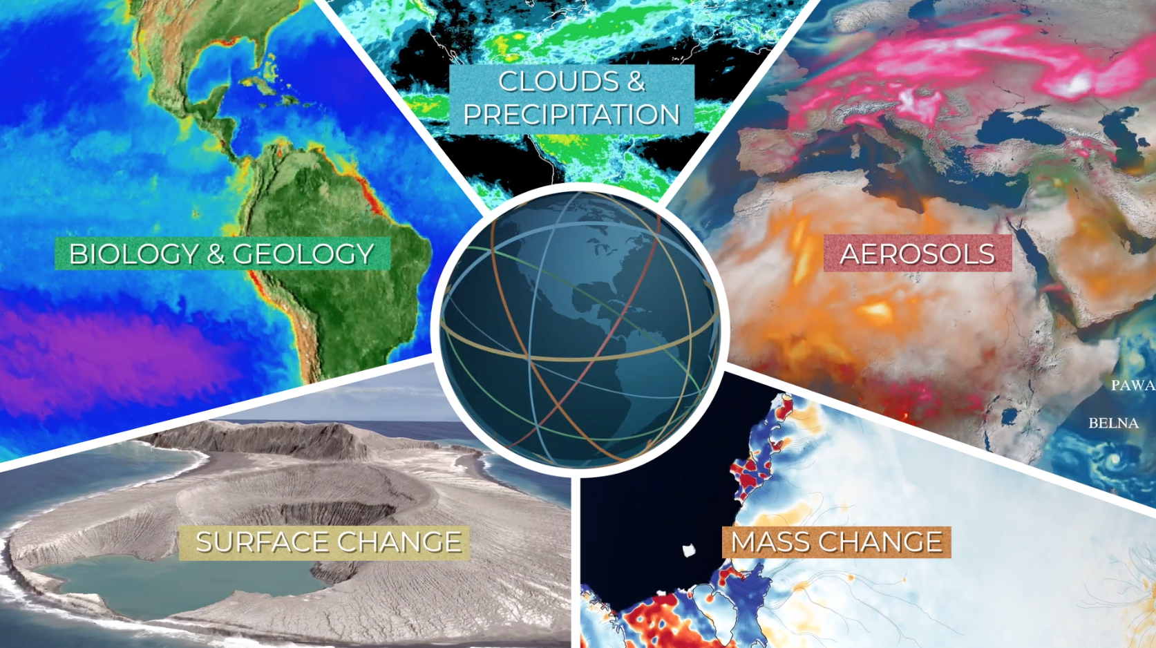
This visualization was created to be one of the final shots of a video celebrating the 50th anniversary of Earth Day. The camera starts under water off the coast of the Eastern United States showing layers of ocean currents from a computational model called ECCO-2. The camera slowly pulls back revealing the Gulf Stream, one of the most powerful ocean currents on Earth. The camera continues to pull back revealing NASA's Earth observing fleet.

The ocean currents are colored by depth from white (5 meters below the surface) down to dark blue (5906 meters below the surface). The color bar is non-linear; there are more levels near the surface than deeper.
Credits
Please give credit for this item to:
NASA's Scientific Visualization Studio
-
Visualizers
- Greg Shirah (NASA/GSFC)
- Horace Mitchell (NASA/GSFC)
-
Producer
- Ryan Fitzgibbons (USRA)
Release date
This page was originally published on Tuesday, April 21, 2020.
This page was last updated on Monday, January 6, 2025 at 12:17 AM EST.
Series
This page can be found in the following series:Datasets used
-
GTOPO30 Topography and Bathymetry
ID: 274 -
CelesTrak Spacecraft Orbit Ephemeris
ID: 454This dataset can be found at: http://celestrak.com
See all pages that use this dataset -
ECCO2 (ECCO2 High Resolution Ocean and Sea Ice Model)
ID: 707
Note: While we identify the data sets used on this page, we do not store any further details, nor the data sets themselves on our site.


