ICESat-2 Ground Track
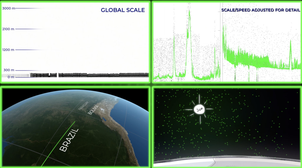
This is a long, slow visualization showing one complete ICESat-2 ground track over the course of 6 minutes.
ICESat-2 (short for Ice, Cloud and land Elevation Satellite -2), launched Sept. 15, 2018, uses lasers and a very precise detection instrument to measure the elevation of Earth’s surface. ICESat-2 is in a polar orbit which provides high coverage near the poles where ice elevations are changing relatively quickly. This visualization shows one complete orbit ground track.
Credits
Please give credit for this item to:
NASA's Scientific Visualization Studio
-
Visualizer
- Kel Elkins (USRA)
-
Technical support
- Laurence Schuler (ADNET Systems, Inc.)
- Ian Jones (ADNET Systems, Inc.)
-
Producer
- Ryan Fitzgibbons (USRA)
-
Scientists
- Kaitlin Harbeck (SGT)
- Thomas A. Neumann (NASA/GSFC)
- Nathan T. Kurtz (NASA/GSFC)
Release date
This page was originally published on Tuesday, August 11, 2020.
This page was last updated on Monday, January 6, 2025 at 12:18 AM EST.
Datasets used
-
STK Ephemeris [ICESat-2]
ID: 984
Note: While we identify the data sets used on this page, we do not store any further details, nor the data sets themselves on our site.
Related
- ID: 4913
 Visualization
Used as a Source In
- ID: 13735
 Produced Video