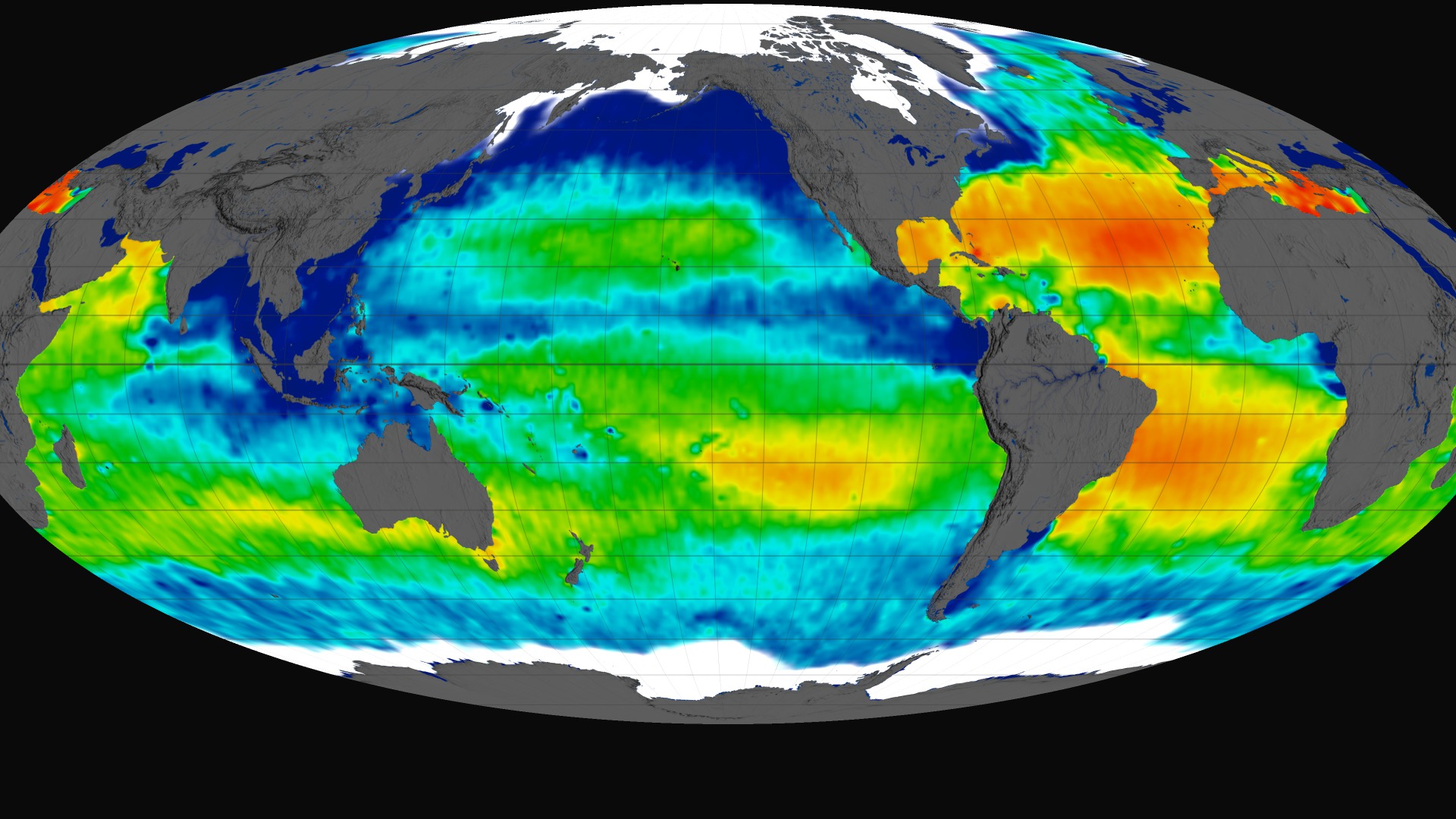
A Decade of Sea Surface Salinity
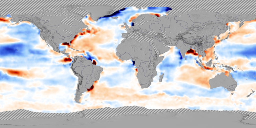
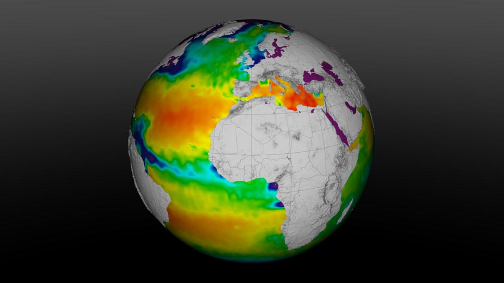
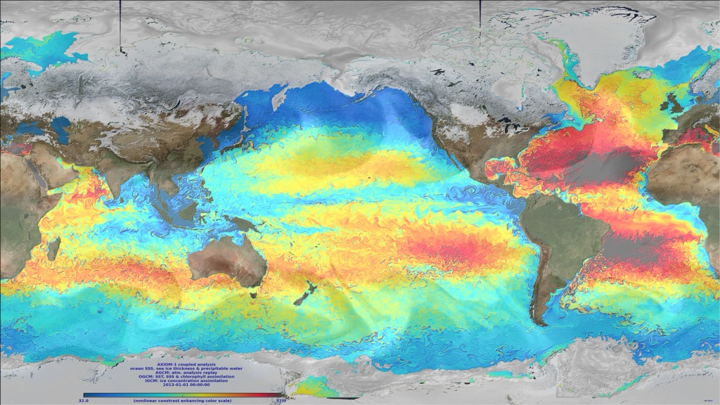
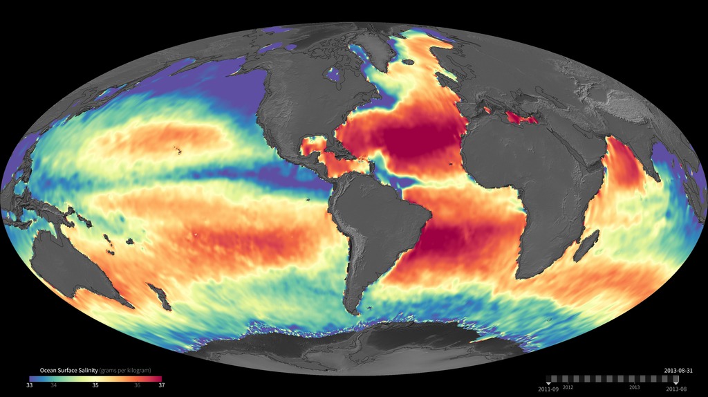
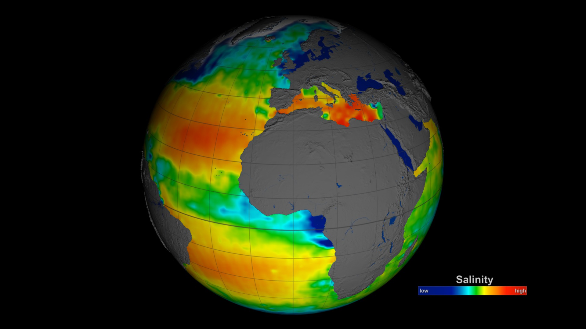
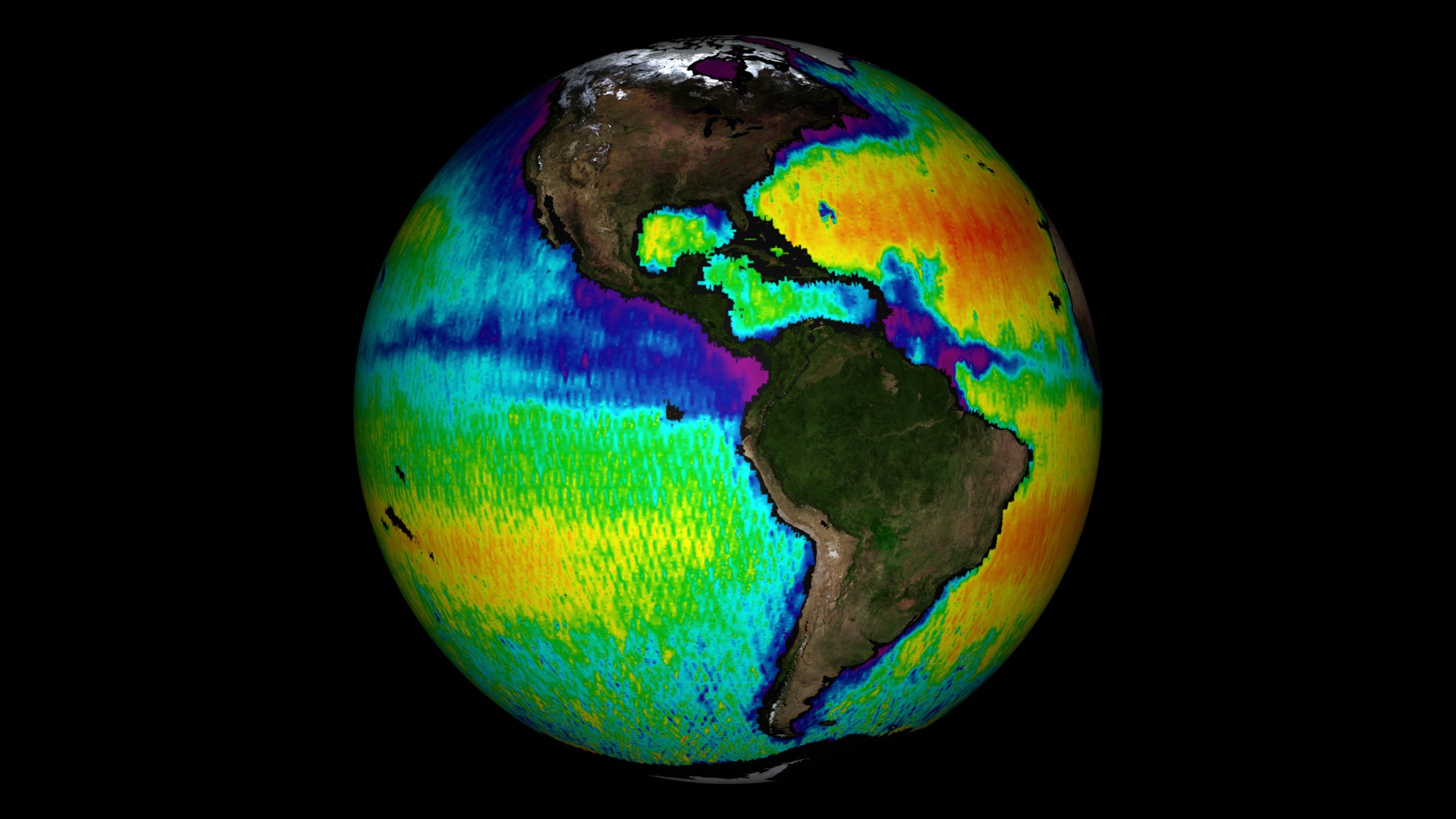
This data visualization shows sea surface salinity (i.e., ocean salt concentration) over a ten year period (2011 to 2021). Warm colors (orange to yellow) are areas of high salinity/hot tropics. Cooler colors (blue to violet) are fresher waters, many of which can be seen coming from rainy/river/wetter tropics.
The heat of the sun forces evaporation at the ocean's surface, which puts water vapor into the atmosphere but leaves minerals and salts behind, keeping the ocean salty. The salinity of the ocean also varies from place to place, because evaporation varies based on the sea surface temperature and wind, rivers and rain storms inject fresh water into the ocean, and melting or freezing sea ice affects the salinity of polar waters.

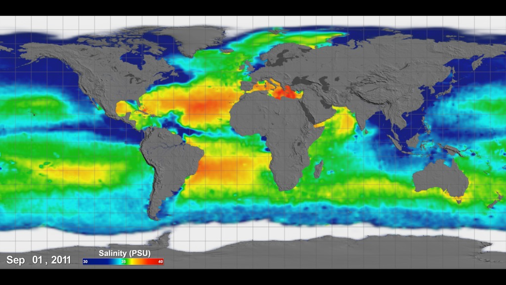
Sea Surface Salinity (i.e., ocean salt) colorbar.

Date overlay for above data visualization.
Example composite animation using the colorbar and date overlays.
- Climate Indicators
- Coastal Processes
- Cryology
- Cryosphere
- Cryospheric Indicators
- Earth Science
- Hydrology
- Hydrosphere
- Hyperwall
- Oceans
- Physical oceanography
- River
- Rivers/Streams
- Salinity
- Salinity/Density
- Salt
- Salt Transport
- Saltwater Intrusion
- Sea Ice
- Sea ice Motion
- surface water
- Terrestrial Hydrosphere
Credits
Please give credit for this item to:
NASA's Scientific Visualization Studio
-
Data visualizers
- Alex Kekesi (Global Science and Technology, Inc.)
- Mark SubbaRao (NASA/GSFC)
-
Scientist
- Nadya Vinogradova-Shiffer (NASA/HQ)
-
Data provider
- Jinbo Wang (NASA/JPL)
-
Technical support
- Laurence Schuler (ADNET Systems, Inc.)
- Ian Jones (ADNET Systems, Inc.)
Release date
This page was originally published on Friday, August 26, 2022.
This page was last updated on Sunday, February 2, 2025 at 12:16 AM EST.
Datasets used
-
Comiso's Daily Sea Ice Concentration
ID: 539 -
OISSS_L4_multimission_7day_v1 (Multi-Mission Optimally Interpolated Sea Surface Salinity Global Dataset V1) [Data Compilation: SMAP/SMAP L-BAND RADIOMETER, SAC-D/AQUARIUS_SCATTEROMETER, SMOS/SMAP L-BAND RADIOMETER]
ID: 1156Credit: Creator: Oleg Melnichenko
This dataset can be found at: https://podaac.jpl.nasa.gov/dataset/OISSS_L4_multimission_7day_v1
See all pages that use this dataset -
Natural Earth River Data [Data Compilation]
ID: 1159This dataset can be found at: naturalearthdata.com
See all pages that use this dataset
Note: While we identify the data sets used on this page, we do not store any further details, nor the data sets themselves on our site.
