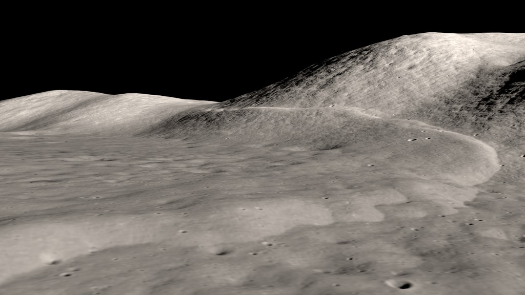
Flying over the Taurus-Littrow Valley
The camera flies low over the Taurus-Littrow valley, primarily east to west, arriving at the South Massif, where it tilts up to view the Earth.
On December 11, 1972, Apollo 17 astronauts Eugene Cernan and Harrison Schmitt landed their lunar module, Challenger, in a lunar valley named for the Taurus mountain range and the nearby Littrow crater. Cernan and Schmitt spent three days exploring the valley before rejoining Command Module Pilot Ronald Evans in lunar orbit. This visualization uses imagery and elevation data from Lunar Reconnaissance Orbiter's cameras to show the terrain of the valley and the astronauts' view of the faraway Earth.
Credits
Please give credit for this item to:
NASA's Scientific Visualization Studio
-
Visualizer
- Ernie Wright (USRA)
-
Producer
- David Ladd (Advocates in Manpower Management, Inc.)
-
Technical support
- Laurence Schuler (ADNET Systems, Inc.)
- Ian Jones (ADNET Systems, Inc.)
Release date
This page was originally published on Monday, December 5, 2022.
This page was last updated on Sunday, February 2, 2025 at 12:17 AM EST.
Missions
This page is related to the following missions:Series
This page can be found in the following series:Datasets used
-
NAC (Narrow Angle Camera) [LRO: LROC]
ID: 652 -
Stereo DEM [LRO: LROC NAC]
ID: 835
Note: While we identify the data sets used on this page, we do not store any further details, nor the data sets themselves on our site.


