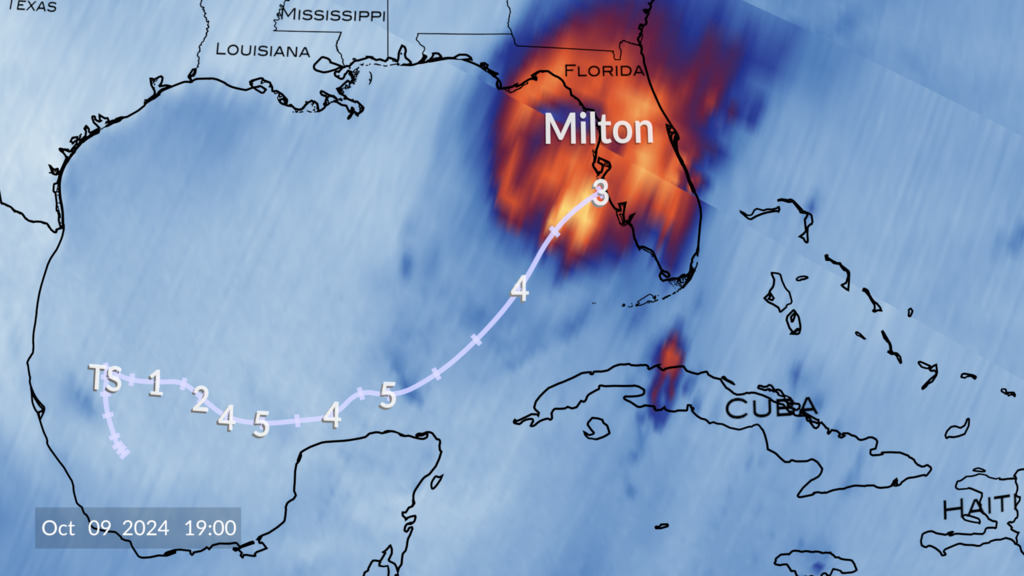
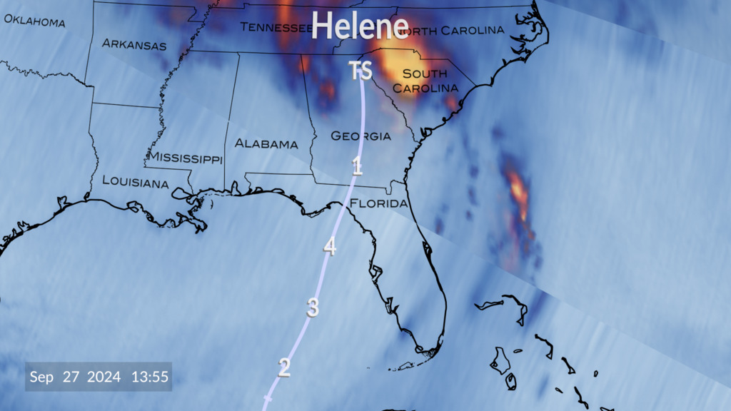
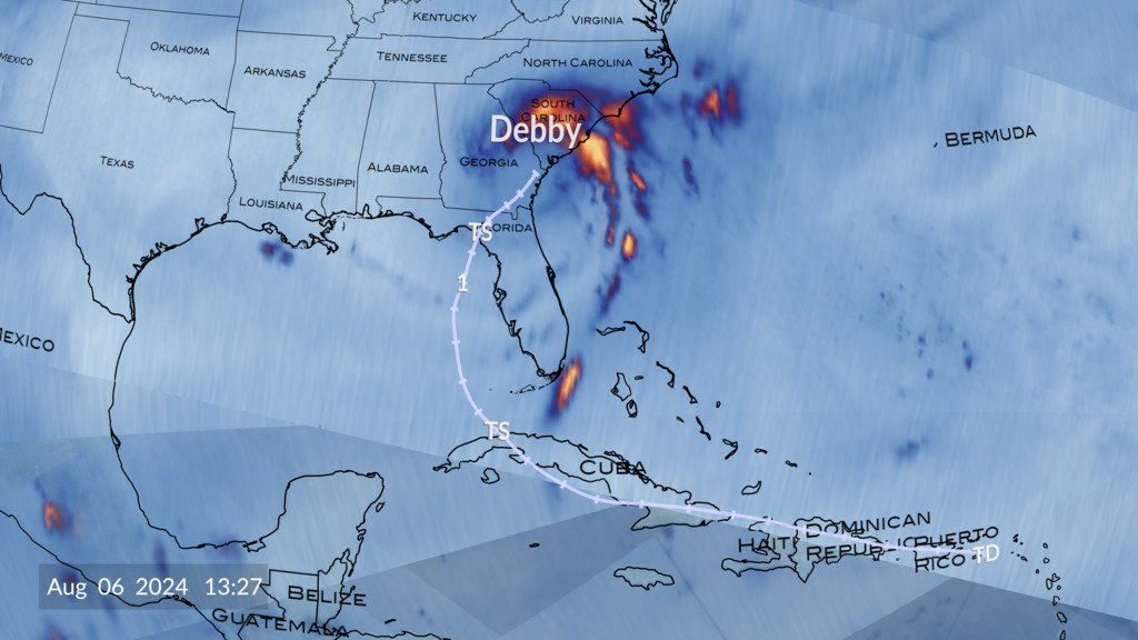
Hurricane Beryl via TROPICS
Animation starts with the orbiting constellation of satellites known as TROPICS. As soon as Hurricane Beryl appears, the camera zooms in closer to watch the storm develop as the TROPICS satellites capture the evolving storm with each swath pass.
The TROPICS constellation of cubesats provides NASA scientists with a new way to investigate hurricanes. By flying as a constellation, these mini-satellites can pass over weather phenomenon more frequently giving scientists deeper insights into storm formation and development. This data visualization was created using early results from TROPICS channel 1 as we follow Hurricane Beryl throughout the majority of its life cycle.
Credits
Please give credit for this item to:
NASA's Scientific Visualization Studio
-
Visualizers
- Alex Kekesi (Global Science and Technology, Inc.)
- Greg Shirah (NASA/GSFC)
- Kel Elkins (USRA)
- Andrew J Christensen (SSAI)
- Cindy Starr (Global Science and Technology, Inc.)
-
Scientists
- Will McCarty (NASA/GSFC)
- Scott Braun (NASA/GSFC)
-
Technical support
- Laurence Schuler (ADNET Systems, Inc.)
- Ian Jones (ADNET Systems, Inc.)
Release date
This page was originally published on Wednesday, July 24, 2024.
This page was last updated on Wednesday, July 17, 2024 at 3:58 PM EDT.
Datasets used
-
Brightness Temp (Brightness Temperature) [TROPICS: Passive Microwave Radiometer]
ID: 1219This dataset can be found at: https://weather.ndc.nasa.gov/tropics/
See all pages that use this dataset
Note: While we identify the data sets used on this page, we do not store any further details, nor the data sets themselves on our site.


