Perpetual Ocean 2: Equirectangular
To view one of 70 high resolution subset movies, go to the picker page
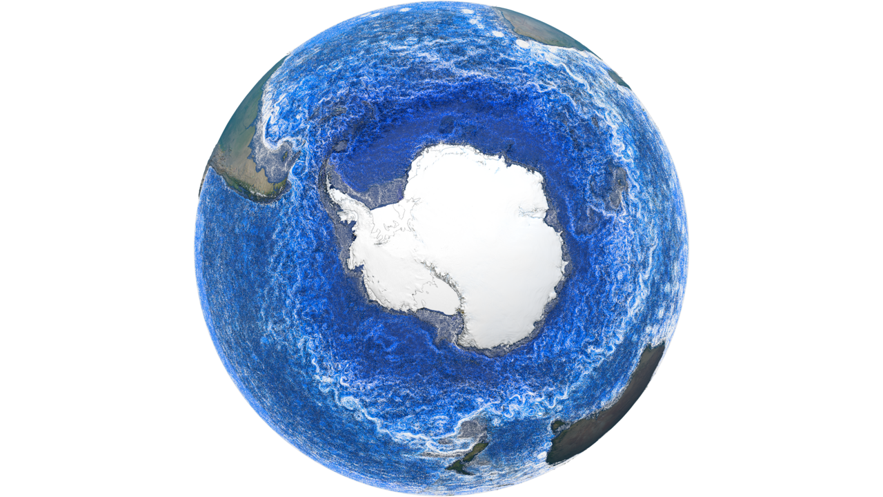
This is a visualization of ocean currents around the world. NASA’s ocean model, Estimating the Circulation and Climate of the Ocean (ECCO)), is used to visualize the currents. The ECCO ocean circulation model incorporates observations from spacecraft, buoys, and other in situ measurements to keep the model accurate. ECCO is a joint project between NASA/JPL and MIT. The model output used here is from ECCO-2 and covers the years 2021-2023.
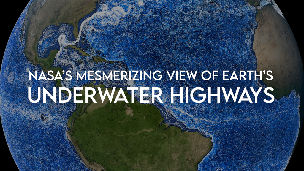
This page contains equirectangular versions of Perpetual Ocean 2's beauty pass. The beauty pass is the aesthetically pleasing version where what's driving the colors isn't as relevant. There are 7201 images rendered at very high resolution (16,384 x 8192 pixels per frame). These images total over 7 Terrabytes of data. You can download individual frames, all frames, or movies of subsections of these frames (see the picker below).
In this visualization ocean currents at all depths are shown. Those closer to the surface (above 600 meters depth) are white while those from 600 meters depth and lower are darker and darker shades of blue).

The is a sample image showing the full resolution detail available from:
• the smallest rectanglular regions available from the picker page
• or from the high resolution source frames which are 16384 x 8192 pixels
To view one of 70 high resolution subset movies, go to the picker page
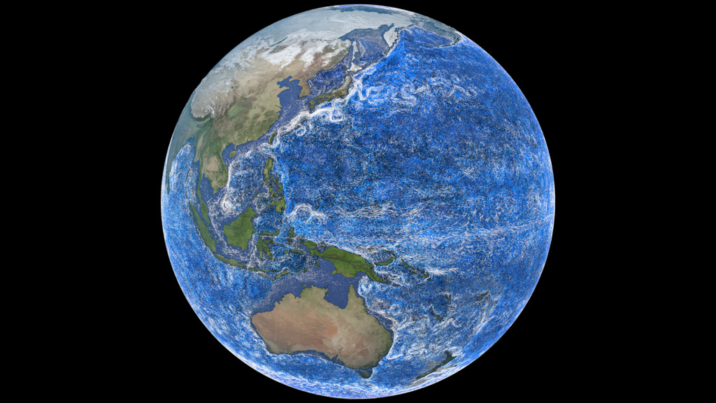
This is a smaller (2048x1024) and faster (10x speed) version of the global movie that can be played on an interactive globe.

This is the color bar applied to this 'beauty shot version' of the ocean currents. All currents above 600 meters depth are white. All currents at 600 meters and below use this blue-cyan-white colorbar below with value ranging from -3 to 22 celcius.
Credits
Please give credit for this item to:
NASA's Scientific Visualization Studio
-
Data visualizers
- Greg Shirah (NASA/GSFC)
- Horace Mitchell (NASA/GSFC)
-
Scientist
- Atousa Saberi (NASA/GSFC)
Release date
This page was originally published on Monday, March 25, 2024.
This page was last updated on Tuesday, April 22, 2025 at 3:26 PM EDT.
Series
This page can be found in the following series:Datasets used
-
ECCO2 (ECCO2 High Resolution Ocean and Sea Ice Model)
ID: 707 -
ETOPO-30
ID: 1216NOAA Earth TOPOgraphy global relief model 30 arc-second resolution (ETOPO-30): The ETOPO Global Relief Model integrates topography, bathymetry, and shoreline data from regional and global datasets to enable comprehensive, high resolution renderings of geophysical characteristics of the earth’s surface. The model is designed to support tsunami forecasting, modeling, and warning, as well as ocean circulation modeling and Earth visualization.
This dataset can be found at: https://www.ncei.noaa.gov/products/etopo-global-relief-model
See all pages that use this dataset
Note: While we identify the data sets used on this page, we do not store any further details, nor the data sets themselves on our site.
Alternate Versions
- ID: 5529
 Visualization
 - ID: 14745
- ID: 5425
 Visualization