One Year On Earth

A NASA camera records a year in the life of our planet.
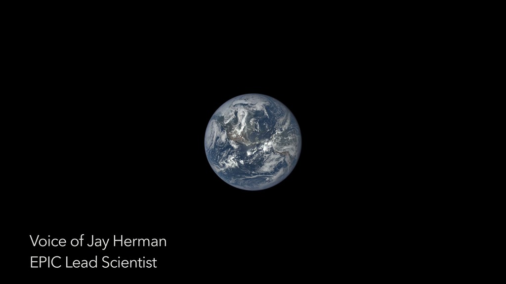
In the early 1970s, an Apollo astronaut traveling to the moon captured the first fully illuminated photo of Earth from space. Today, a NASA camera takes a similar image of Earth at least once every two hours. The camera, called EPIC, is stationed aboard NOAA’s DSCOVR satellite, which is located at a gravitational balance point between Earth and the sun approximately one million miles away. With the sunlit side of Earth in constant view, EPIC snaps a picture in multiple wavelengths of light as the planet turns beneath it. Since June 2015, the camera has beamed back thousands of images, providing a continuous, detailed look at our planet’s daily motions like never before. Watch the video to see a time-lapse of Earth created from images taken by EPIC over the course of a year.
Explore stunning views of Earth in this time-lapse video narrated by EPIC Lead Scientist Jay Herman.

A trio of storms churns in the Pacific Ocean in this image from EPIC taken in September 2015.

Earth’s frigid polar regions are visible in these images captured by EPIC during summer in the Northern and Southern Hemisphere.

On July 5, 2016, EPIC saw the far side of the moon as it passed between the camera and Earth.
Credits
Please give credit for this item to:
NASA's Goddard Space Flight Center
-
Producer
- Kayvon Sharghi (USRA)
-
Animators
- Joycelyn Thomson Jones (NASA/GSFC)
- Kayvon Sharghi (USRA)
-
Video editor
- Kayvon Sharghi (USRA)
-
Narration
- Kayvon Sharghi (USRA)
-
Scientists
- Jay Herman (NASA/GSFC)
- Adam Szabo (NASA/GSFC)
- Alexander Marshak (NASA/GSFC)
-
Narrator
- Jay Herman (NASA/GSFC)
-
Writer
- Kayvon Sharghi (USRA)
Release date
This page was originally published on Thursday, July 28, 2016.
This page was last updated on Wednesday, May 3, 2023 at 1:48 PM EDT.
